Transport Functions
Multimodal
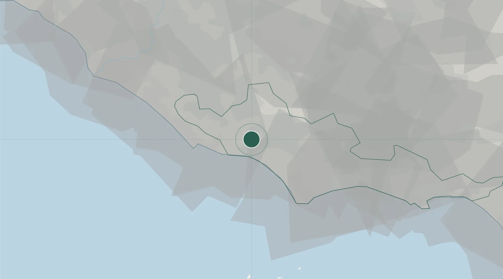
Hub Profile
Place type
Populated place
Region
Lazio
Population
879
Time zone
Europe/Rome
Elevation
25 m
Location
Nearby Logistics Neighbours
Ports
- 1Anzio - Nettuno20 km
- 2San Felice Circeo35 km
- 3Terracina40 km
- 4Fiumicino63 km
- 5Ponza66 km
Airports
DatabookThe Record of Consolidated Knowledge
Italy beyond logistics?