Seaport · Italy

PonzaITPNZ

40.8950°, 12.9640°
Ponza is also a UN/LOCODE logistics hub →

Channel & Berth Profile

NGA World Port Index

Facilities & Capabilities

Container
Ro-Ro
Liquid bulk
Dry bulk
Oil terminal
Break bulk
Dry dock
Repairs
Bunkering
Rail link
Dangerous cargo
ISPS security
NGA World Port Index

Harbour Specifications

Harbour size
Small
NGA World Port Index
Water body
Tyrrhenian Sea; Mediterranean Sea; North Atlantic Ocean
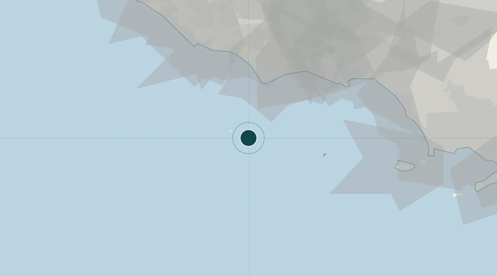
NGA World Port Index

Location

Location of ITPNZ
Natural Earth 10m (public domain) · Latina · ITPNZ · 40.90, 12.96GoogleOSMYandex

Nearby Logistics Neighbours

Ports
  1. 1San Felice Circeo39 km
  2. 2Terracina50 km
  3. 3Gaeta63 km
  4. 4Anzio - Nettuno67 km
  5. 5Formia68 km
Nearest neighbours — logibook spatial index (haversine) over the source coordinates
Cities
  1. 1San Felice Circeo39 km
  2. 2Sperlonga56 km
  3. 3Gaeta62 km
  4. 4Priverno66 km
  5. 5Borgo Piave66 km
Nearest neighbours — logibook spatial index (haversine) over the source coordinates
Airports
  1. 1Latina Air Base72 km
  2. 2Pratica Di Mare Air Base95 km
  3. 3Grazzanise Air Base96 km
  4. 4Ciampino–G. B. Pastine International Airport105 km
  5. 5Naples International Airport112 km
Nearest neighbours — logibook spatial index (haversine) over the source coordinates
Trade Zones
  1. 1Campania Special Economic Zone (Naples and Salerno)61 km
  2. 2Ionian Special Economic Zone125 km
  3. 3Abruzzo Special Economic Zone158 km
  4. 4Basilicata Special Economic Zone221 km
  5. 5Puglia (Apulia) Special Economic Zone Area222 km
Nearest neighbours — logibook spatial index (haversine) over the source coordinates
DatabookThe Record of Consolidated Knowledge
Italy beyond logistics?
Browse databook

All Sources

Portsthe NGA World Port Index
Public domain (US gov)
AirportsOurAirports
Public domain
LocationsUN/LOCODE
UN/LOCODE — free
Trade Zonesthe World Bank SEZ database
CC BY 4.0
Trade ZonesOpen Zone Map
CC BY
← Italy ports