Transport Functions
Multimodal
Hub Profile
Place type
District seat
Region
Lazio
Population
6,467
Time zone
Europe/Rome
Elevation
324 m
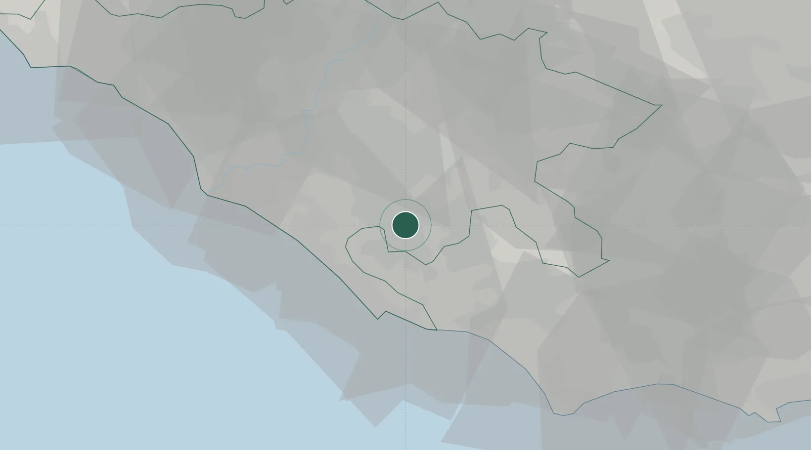
Location
Nearby Logistics Neighbours
Cities
- 1Genzano di Roma4 km
- 2Velletri7 km
- 3Albano Laziale9 km
- 4Aprilia9 km
- 5Pavona9 km
Ports
- 1Anzio - Nettuno25 km
- 2Fiumicino42 km
- 3San Felice Circeo59 km
- 4Terracina63 km
- 5Gaeta88 km
Airports
- 1Ciampino–G. B. Pastine International Airport17 km
- 2Pratica Di Mare Air Base21 km
- 3Latina Air Base22 km
- 4Rome Urbe Airport36 km
- 5Guidonia Air Base36 km
DatabookThe Record of Consolidated Knowledge
Italy beyond logistics?