Transport Functions
Port
Hub Profile
Place type
District seat
Region
Lazio
Population
45,403
Time zone
Europe/Rome
Elevation
3 m
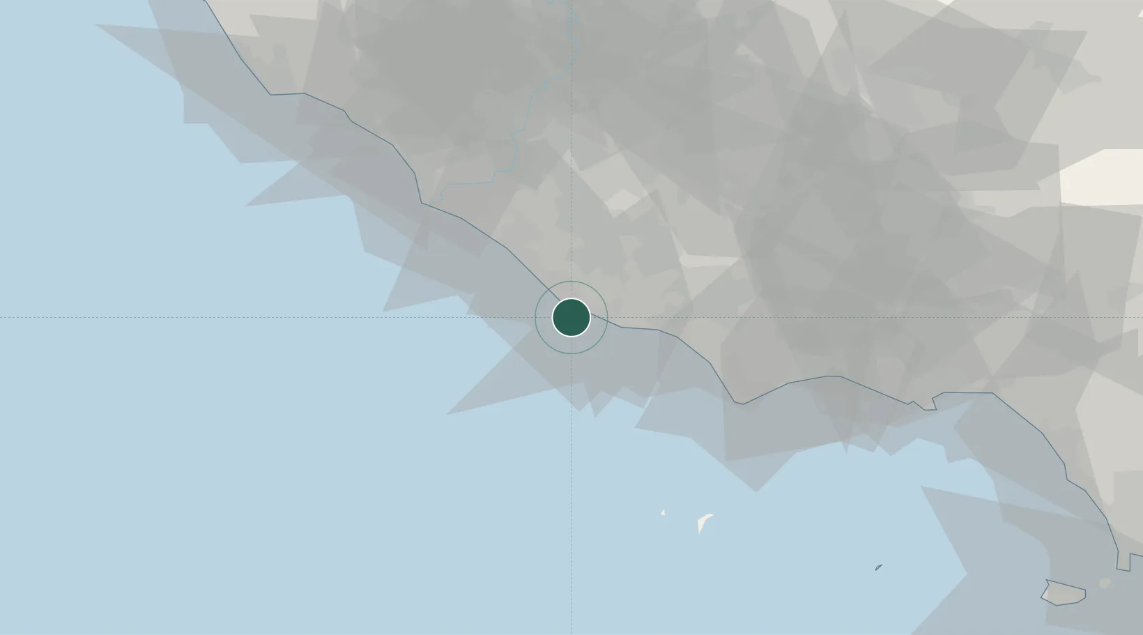
Location
Nearby Logistics Neighbours
Cities
- 1Nettuno6 km
- 2Aprilia17 km
- 3Borgo Piave21 km
- 4Torvaianica24 km
- 5Lanuvio25 km
Ports
- 1San Felice Circeo47 km
- 2Fiumicino49 km
- 3Terracina57 km
- 4Ponza68 km
- 5Gaeta84 km
Airports
Trade Zones
DatabookThe Record of Consolidated Knowledge
Italy beyond logistics?