Transport Functions
Rail
Road
Hub Profile
Place type
District seat
Region
Lazio
Population
74,977
Time zone
Europe/Rome
Elevation
80 m
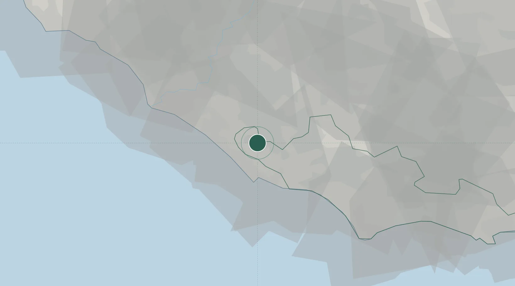
Location
Nearby Logistics Neighbours
Cities
- 1Lanuvio9 km
- 2Genzano di Roma12 km
- 3Santa Palomba12 km
- 4Pomezia13 km
- 5Pavona13 km
Ports
- 1Anzio - Nettuno17 km
- 2Fiumicino41 km
- 3San Felice Circeo56 km
- 4Terracina62 km
- 5Ponza83 km
Airports
DatabookThe Record of Consolidated Knowledge
Italy beyond logistics?