Transport Functions
Multimodal
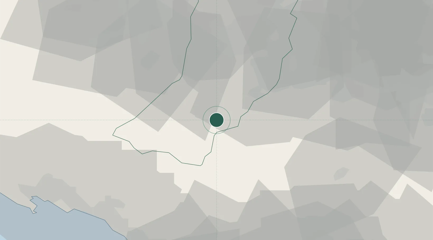
Hub Profile
Place type
Populated place
Region
Emilia-Romagna
Population
762
Time zone
Europe/Rome
Elevation
507 m
Location
Nearby Logistics Neighbours
Cities
- 1Montefiorino8 km
- 2Castagneto10 km
- 3Monfestino in Serramazzoni19 km
- 4Serramazzoni20 km
- 5Iano23 km
Ports
- 1Marina Di Carrara57 km
- 2Viareggio64 km
- 3La Spezia65 km
- 4Chiavari - Lavagna97 km
- 5Livorno97 km
Airports
- 1Parma Airport51 km
- 2Sarzana-Luni Air Base56 km
- 3Bologna Guglielmo Marconi Airport62 km
- 4Pisa International Airport80 km
- 5Florence Airport, Peretola85 km
Trade Zones
DatabookThe Record of Consolidated Knowledge
Italy beyond logistics?