Transport Functions
Road
Multimodal
Hub Profile
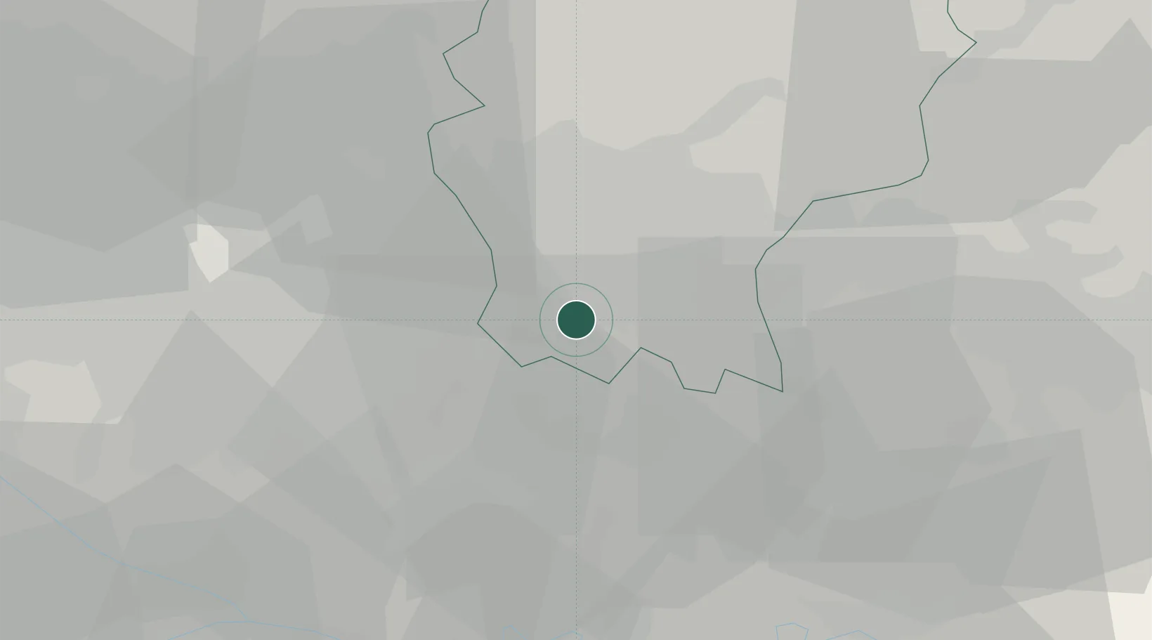
Place type
Populated place
Region
Lombardy
Population
1,083
Time zone
Europe/Rome
Elevation
122 m
Location
Nearby Logistics Neighbours
Cities
- 1Fornovo San Giovanni4 km
- 2Casirate d'Adda6 km
- 3Misano di Gera d'Adda6 km
- 4Vailate6 km
- 5Pognano7 km
Ports
- 1Genova136 km
- 2Chiavari - Lavagna137 km
- 3La Spezia158 km
- 4Savona161 km
- 5Rada Di Vado167 km
Airports
Trade Zones
DatabookThe Record of Consolidated Knowledge
Italy beyond logistics?