Transport Functions
Rail
Road
Hub Profile
Place type
District seat
Region
Lombardy
Population
4,357
Time zone
Europe/Rome
Elevation
103 m
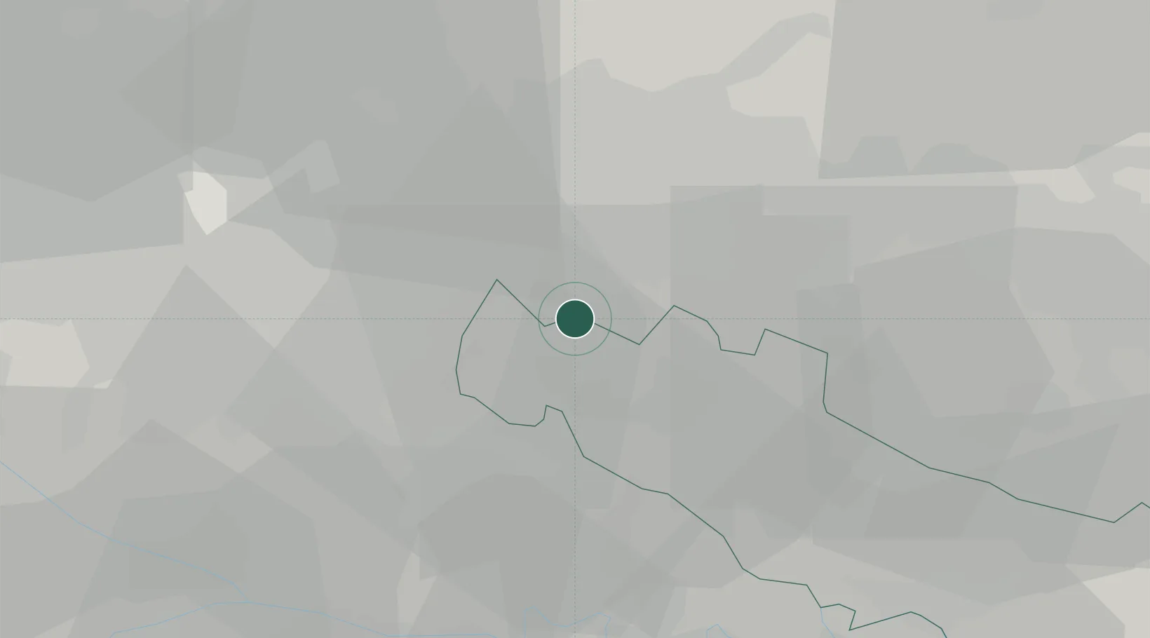
Location
Nearby Logistics Neighbours
Cities
- 1Misano di Gera d'Adda1 km
- 2Agnadello4 km
- 3Casirate d'Adda5 km
- 4Pieranica6 km
- 5Vidalengo6 km
Ports
- 1Genova130 km
- 2Chiavari - Lavagna131 km
- 3La Spezia153 km
- 4Savona155 km
- 5Rada Di Vado161 km
Airports
Trade Zones
DatabookThe Record of Consolidated Knowledge
Italy beyond logistics?