UN/LOCODE hub · Italy
ITZJA

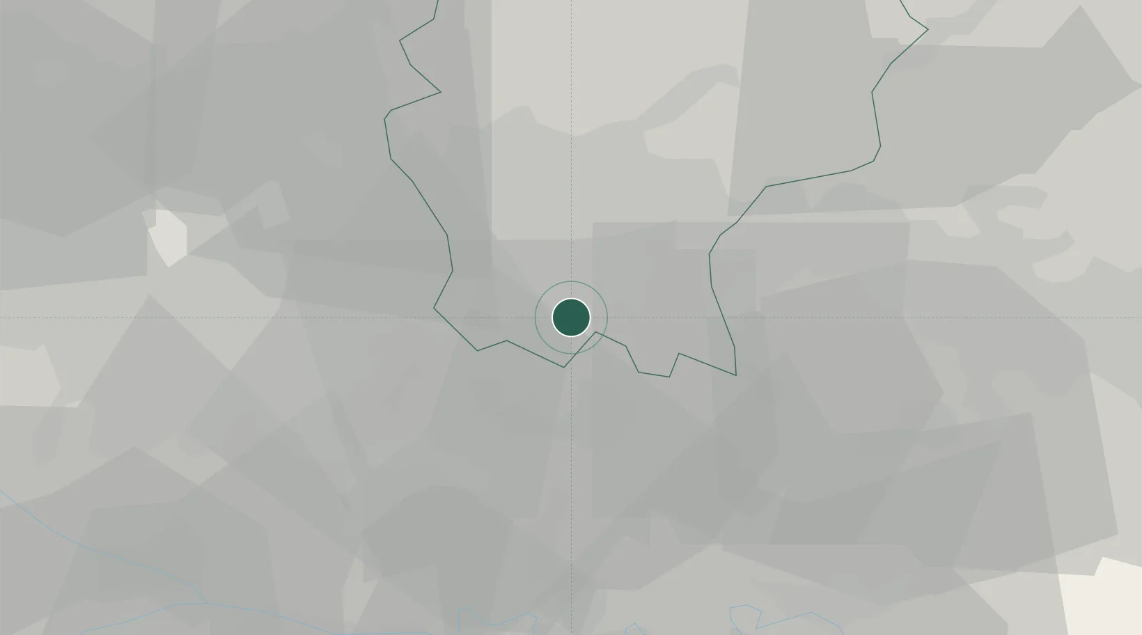
Fornovo San Giovanni

45.5000°, 9.6833°
2,951
Population
1
Transport functions

Transport Functions

Multimodal
UN/LOCODE

Hub Profile

Place type
District seat
GeoNames
Region
Lombardy
GeoNames
Population
2,951
GeoNames
Time zone
Europe/Rome
GeoNames
Elevation
109 m
GeoNames

Location

Location of ITZJA
Natural Earth 10m (public domain) · Lombardy · ITZJA · 45.50, 9.68GoogleOSMYandex

Nearby Logistics Neighbours

Cities
  1. 1Vidalengo4 km
  2. 2Romano di Lombardia6 km
  3. 3Misano di Gera d'Adda6 km
  4. 4Vailate8 km
  5. 5Casirate d'Adda9 km
Nearest neighbours — logibook spatial index (haversine) over the source coordinates
Ports
  1. 1Chiavari - Lavagna136 km
  2. 2Genova136 km
  3. 3La Spezia156 km
  4. 4Savona161 km
  5. 5Marina Di Carrara166 km
Nearest neighbours — logibook spatial index (haversine) over the source coordinates
Airports
  1. 1Il Caravaggio International Airport19 km
  2. 2Milano Linate Airport32 km
  3. 3Ghedi Air Base46 km
  4. 4Brescia Gabriele d'Annunzio Airport51 km
  5. 5Piacenza San Damiano Air Base65 km
Nearest neighbours — logibook spatial index (haversine) over the source coordinates
Trade Zones
  1. 1Magazzini Generali Con Chiasso69 km
  2. 2Livigno Free Trade Zone119 km
  3. 3Consorzio Zona Industriale e Porto Fluviale di Padova175 km
  4. 4Free Port of Venice205 km
  5. 5Aosta Valley225 km
Nearest neighbours — logibook spatial index (haversine) over the source coordinates
DatabookThe Record of Consolidated Knowledge
Italy beyond logistics?
Browse databook

All Sources

LocationsUN/LOCODE
UN/LOCODE — free
LocationsGeoNames
CC BY 4.0
Portsthe NGA World Port Index
Public domain (US gov)
AirportsOurAirports
Public domain
Trade Zonesthe World Bank SEZ database
CC BY 4.0
Trade ZonesOpen Zone Map
CC BY
← Italy locations