Transport Functions
Rail
Road
Multimodal
Hub Profile
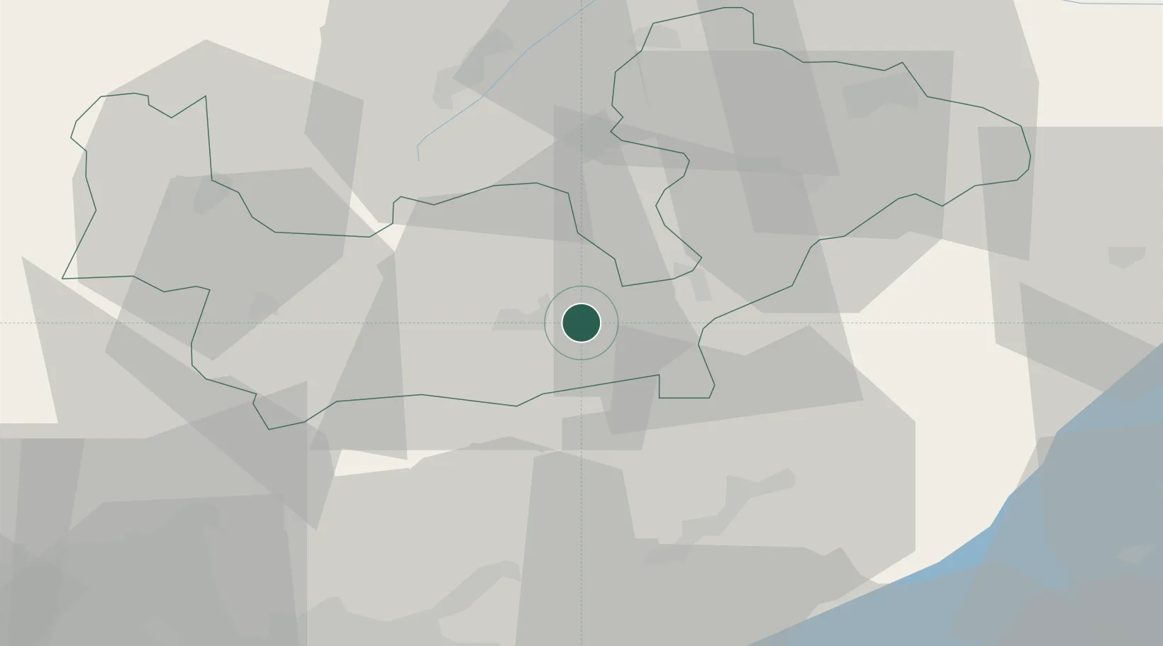
Place type
District seat
Region
Lombardy
Population
1,730
Time zone
Europe/Rome
Elevation
390 m
Location
Nearby Logistics Neighbours
Cities
- 1Poggiridenti8 km
- 2Postalesio17 km
- 3Tovo di Sant'Agata23 km
- 4Ardenno26 km
- 5Ardesio28 km
Ports
- 1Porto Di Lido-Venezia207 km
- 2Porto Di Chioggia208 km
- 3Chiavari - Lavagna213 km
- 4Genova214 km
- 5La Spezia230 km
Airports
- 1Engadin Airport42 km
- 2Il Caravaggio International Airport59 km
- 3Ghedi Air Base85 km
- 4Lugano Airport85 km
- 5Brescia Gabriele d'Annunzio Airport86 km
Trade Zones
DatabookThe Record of Consolidated Knowledge
Italy beyond logistics?