Transport Functions
Multimodal
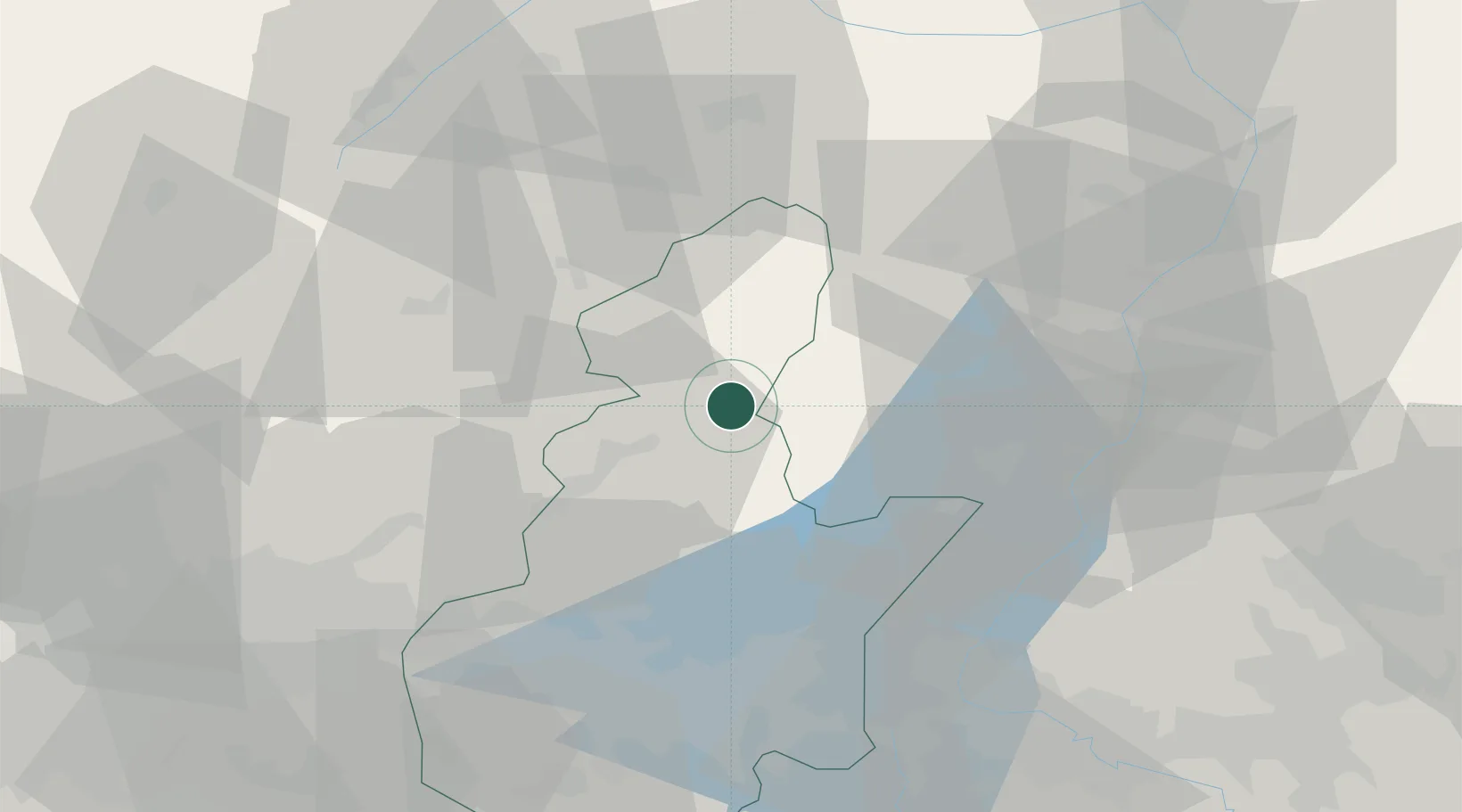
Hub Profile
Place type
District seat
Region
Lombardy
Population
222
Time zone
Europe/Rome
Elevation
29 m
Location
Nearby Logistics Neighbours
Cities
- 1Cividate Camuno12 km
- 2Condino19 km
- 3Storo21 km
- 4Tiarno Di Sopra23 km
- 5Ragoli28 km
Ports
- 1Porto Di Chioggia170 km
- 2Porto Di Lido-Venezia170 km
- 3Porto Garibaldi206 km
- 4Chiavari - Lavagna207 km
- 5Genova213 km
Airports
Trade Zones
DatabookThe Record of Consolidated Knowledge
Italy beyond logistics?