Transport Functions
Rail
Road
Hub Profile
Place type
District seat
Region
Apulia
Population
6,613
Time zone
Europe/Rome
Elevation
435 m
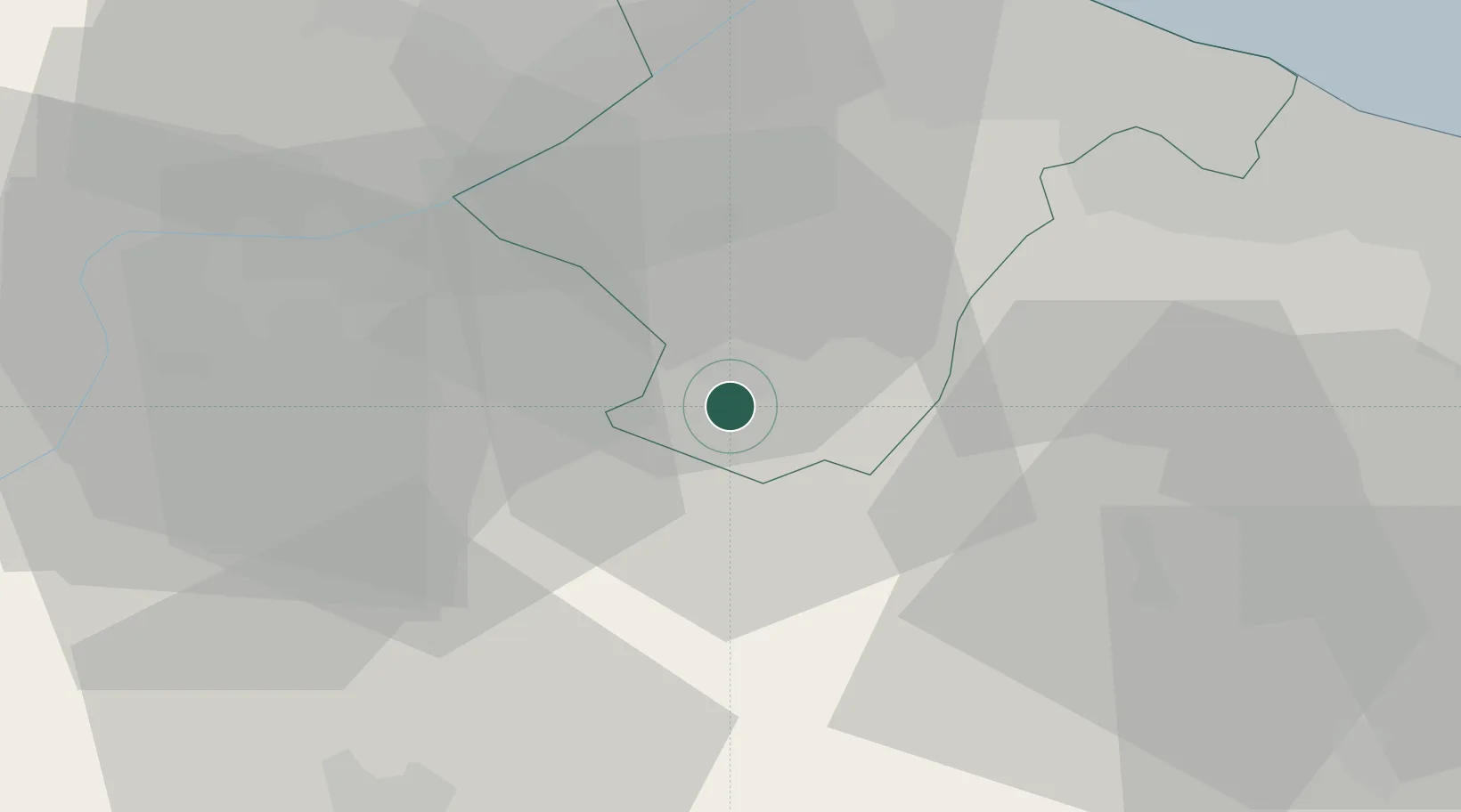
Location
Nearby Logistics Neighbours
Cities
- 1Palazzo San Gervasio9 km
- 2Pietragalla29 km
- 3Gravina In Puglia33 km
- 4San Nicola36 km
- 5Filiano36 km
Ports
- 1Porto Di Barletta44 km
- 2Trani45 km
- 3Bisceglie47 km
- 4Molfetta52 km
- 5Bari67 km
Airports
DatabookThe Record of Consolidated Knowledge
Italy beyond logistics?