Transport Functions
Multimodal
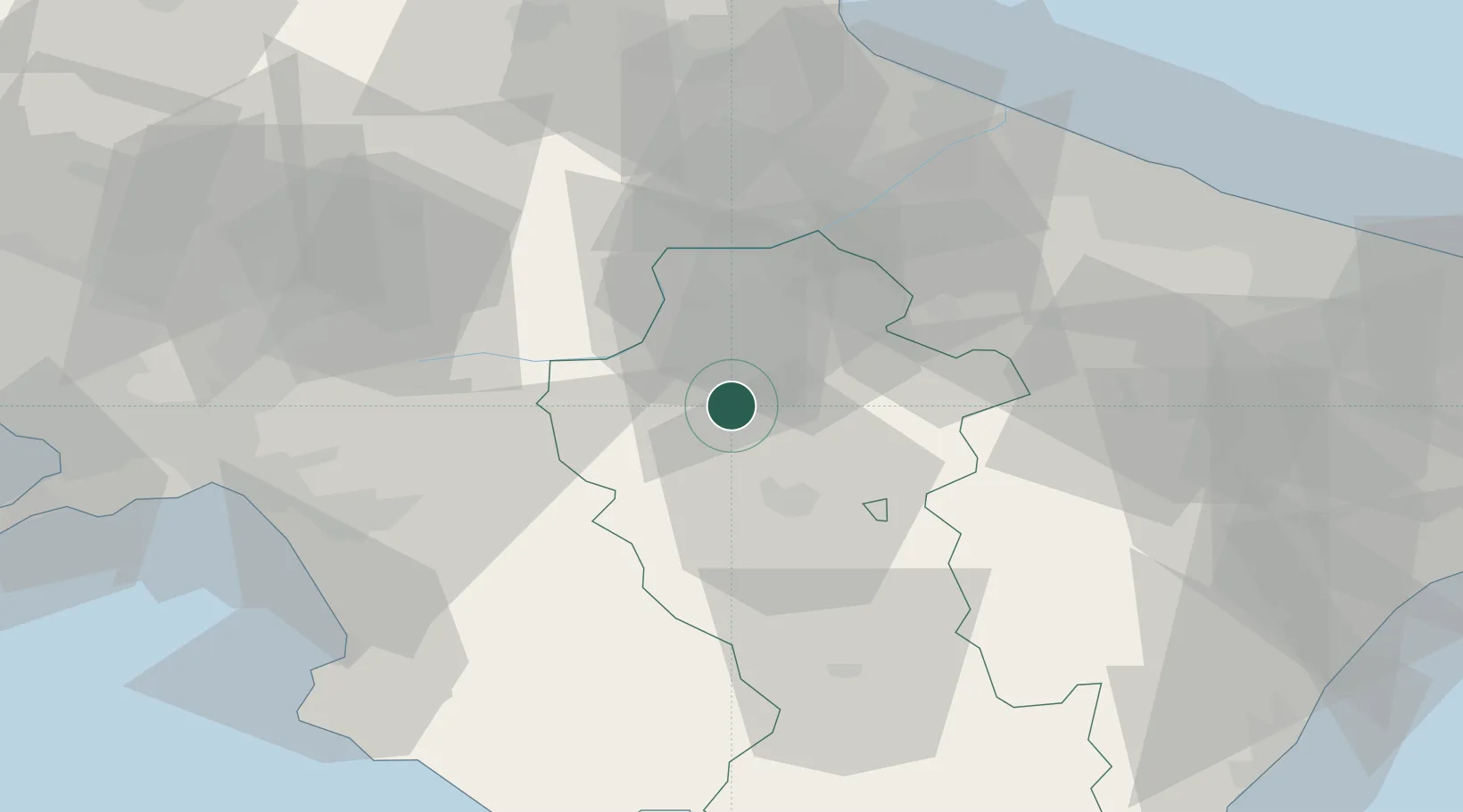
Hub Profile
Place type
District seat
Region
Basilicate
Population
730
Time zone
Europe/Rome
Elevation
597 m
Location
Nearby Logistics Neighbours
Cities
- 1Pietragalla17 km
- 2Melfi21 km
- 3Potenza22 km
- 4Calitri24 km
- 5Tito26 km
Ports
- 1Porto Di Barletta76 km
- 2Trani80 km
- 3Salerno82 km
- 4Bisceglie83 km
- 5Molfetta88 km
Airports
DatabookThe Record of Consolidated Knowledge
Italy beyond logistics?