Transport Functions
Multimodal
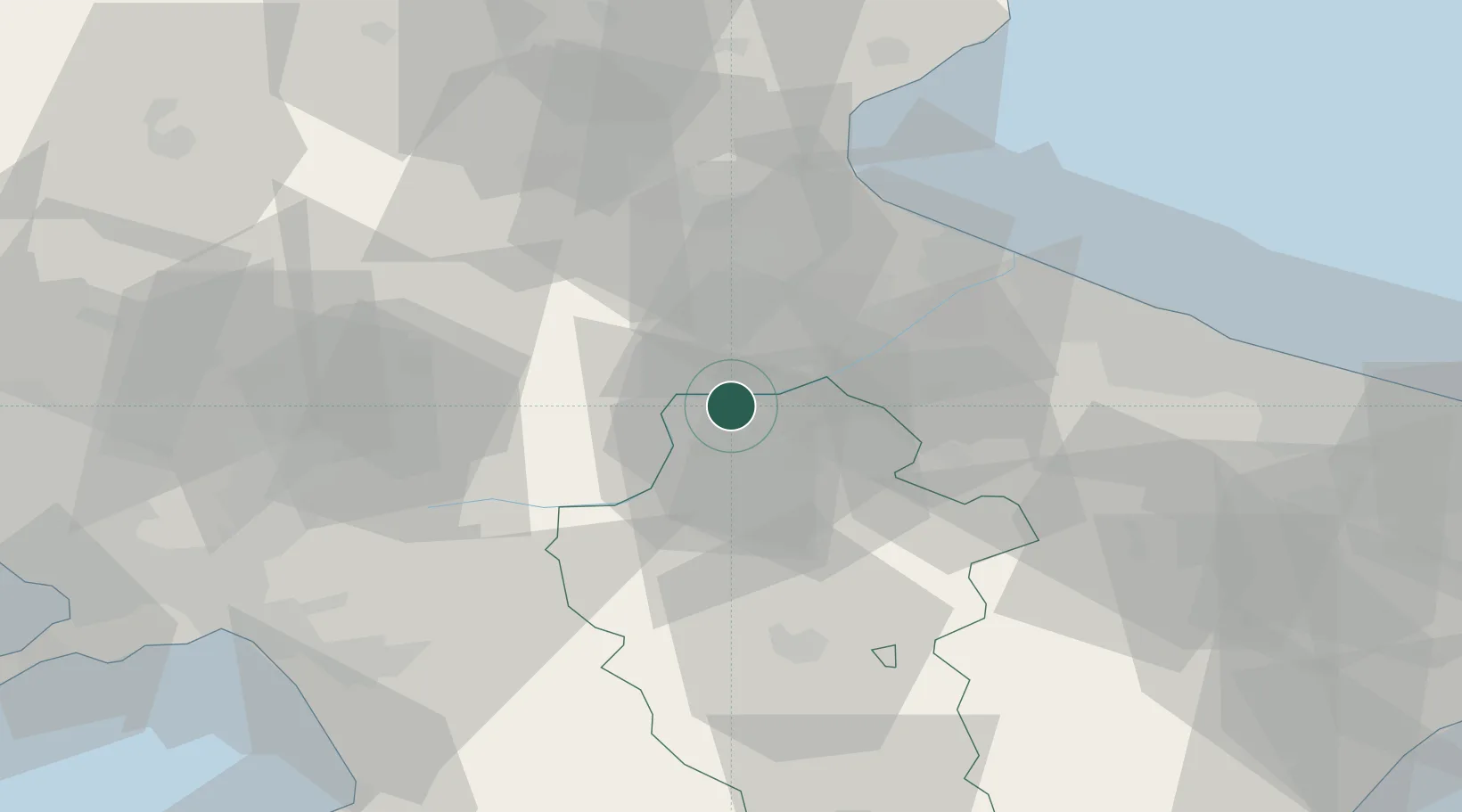
Hub Profile
Place type
Populated place
Region
Basilicate
Population
24
Time zone
Europe/Rome
Elevation
190 m
Location
Nearby Logistics Neighbours
Cities
- 1Melfi10 km
- 2Stornarella19 km
- 3Calitri29 km
- 4Filiano30 km
- 5Palazzo San Gervasio30 km
Ports
- 1Porto Di Barletta58 km
- 2Manfredonia62 km
- 3Trani66 km
- 4Bisceglie71 km
- 5Molfetta78 km
Airports
DatabookThe Record of Consolidated Knowledge
Italy beyond logistics?