UN/LOCODE hub · Italy
ITGNG
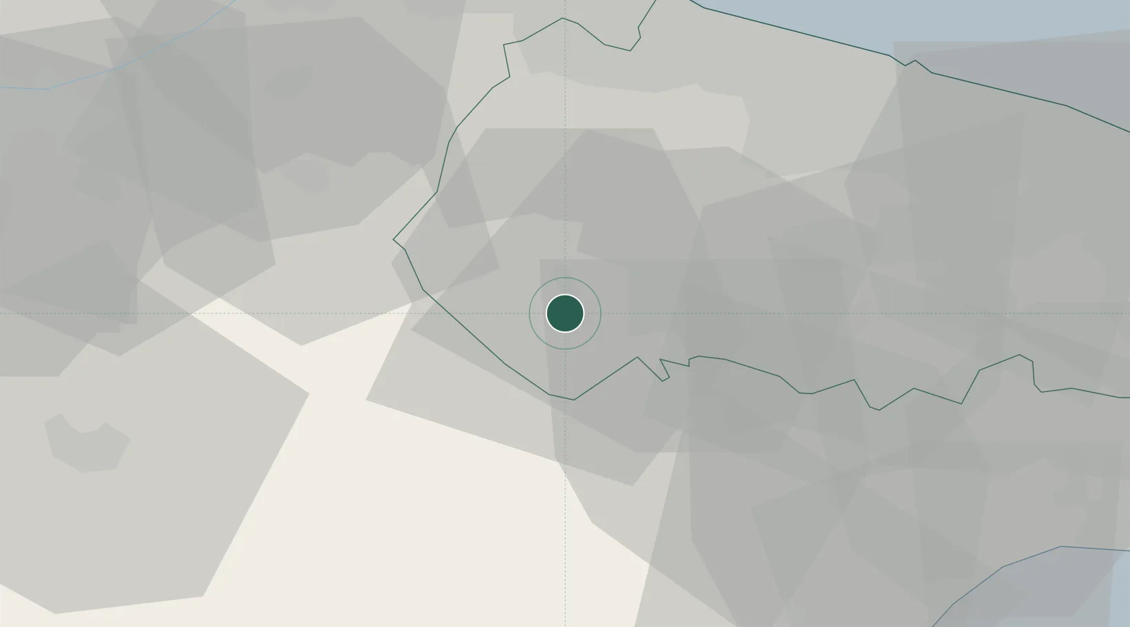
Gravina In Puglia
40.8167°, 16.4167°
42,210
Population
1
Transport functions
Transport Functions
Multimodal
Hub Profile
Place type
District seat
Region
Apulia
Population
42,210
Time zone
Europe/Rome
Elevation
338 m
Location
Nearby Logistics Neighbours
Cities
- 1Binetto33 km
- 2Spinazzola33 km
- 3Ruvo di Puglia34 km
- 4Salandra34 km
- 5Palo del Colle35 km
Ports
- 1Molfetta47 km
- 2Bisceglie48 km
- 3Bari51 km
- 4Trani52 km
- 5Porto Di Barletta59 km
Airports
DatabookThe Record of Consolidated Knowledge
Italy beyond logistics?