UN/LOCODE hub · Italy
ITPZG

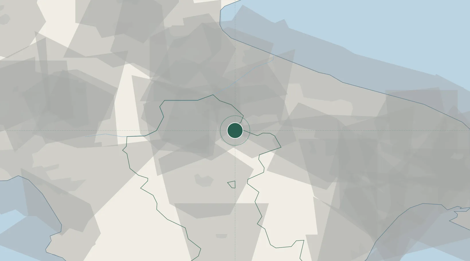
Palazzo San Gervasio

40.9333°, 15.9833°
4,917
Population
2
Transport functions

Transport Functions

Rail
Road
UN/LOCODE

Hub Profile

Place type
District seat
GeoNames
Region
Basilicate
GeoNames
Population
4,917
GeoNames
Time zone
Europe/Rome
GeoNames
Elevation
485 m
GeoNames

Location

Location of ITPZG
Natural Earth 10m (public domain) · Basilicate · ITPZG · 40.93, 15.98GoogleOSMYandex

Nearby Logistics Neighbours

Cities
  1. 1Spinazzola9 km
  2. 2Pietragalla22 km
  3. 3Filiano27 km
  4. 4Melfi29 km
  5. 5San Nicola30 km
Nearest neighbours — logibook spatial index (haversine) over the source coordinates
Ports
  1. 1Porto Di Barletta52 km
  2. 2Trani54 km
  3. 3Bisceglie56 km
  4. 4Molfetta61 km
  5. 5Bari76 km
Nearest neighbours — logibook spatial index (haversine) over the source coordinates
Airports
  1. 1Foggia Gino Lisa Airport67 km
  2. 2Bari Karol Wojtyła International Airport69 km
  3. 3Amendola Air Base71 km
  4. 4Gioia del Colle Antonio Ramirez Air Base82 km
  5. 5Salerno Costa d'Amalfi Airport97 km
Nearest neighbours — logibook spatial index (haversine) over the source coordinates
Trade Zones
  1. 1Puglia (Apulia) Special Economic Zone Area33 km
  2. 2Basilicata Special Economic Zone60 km
  3. 3Adriatic Special Economic Zone (Foggia-Molise)77 km
  4. 4Calabria Special Economic Zone182 km
  5. 5Ionian Special Economic Zone188 km
Nearest neighbours — logibook spatial index (haversine) over the source coordinates
DatabookThe Record of Consolidated Knowledge
Italy beyond logistics?
Browse databook

All Sources

LocationsUN/LOCODE
UN/LOCODE — free
LocationsGeoNames
CC BY 4.0
Portsthe NGA World Port Index
Public domain (US gov)
AirportsOurAirports
Public domain
Trade Zonesthe World Bank SEZ database
CC BY 4.0
Trade ZonesOpen Zone Map
CC BY
← Italy locations