Transport Functions
Rail
Road
Hub Profile
Place type
District seat
Region
Basilicate
Population
2,439
Time zone
Europe/Rome
Elevation
839 m
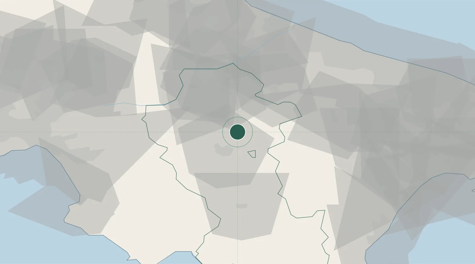
Location
Nearby Logistics Neighbours
Cities
- 1Potenza16 km
- 2Filiano17 km
- 3Palazzo San Gervasio22 km
- 4Tito26 km
- 5Spinazzola29 km
Ports
- 1Porto Di Barletta73 km
- 2Trani75 km
- 3Bisceglie76 km
- 4Molfetta79 km
- 5Bari92 km
Airports
DatabookThe Record of Consolidated Knowledge
Italy beyond logistics?