Medium airport · Italy
Salerno Costa d'Amalfi AirportLIRI
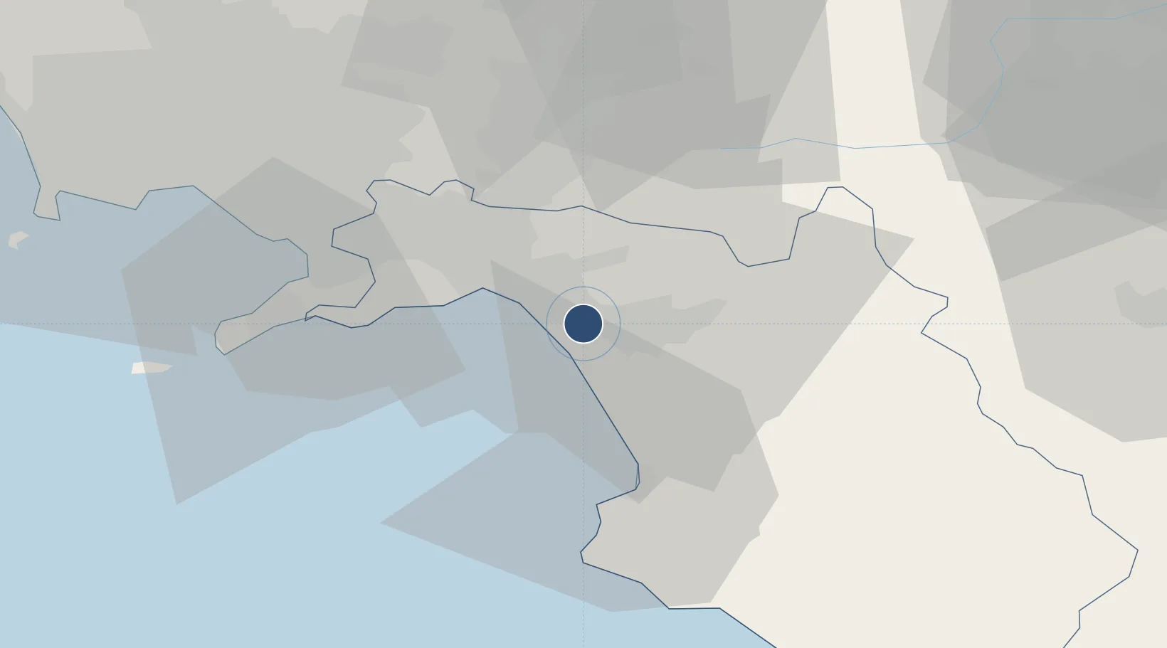
40.6204°, 14.9113°
6,437 ft
Longest runway
1
Runways
123 ft
Elevation
Runway & Layout

Radio Frequencies
AFIS
119.175 MHz
SALERNO INFO
Runways · 1
| Runway | Dimensions | Surface | True heading | Lit |
|---|---|---|---|---|
| 05/23 | 6,437 × 148ft | Asphalt | 052° | ✓ |
Airport Specifications
IATA code
QSR
ICAO code
LIRI
Airport class
Medium airport
Scheduled service
Yes
Runway surface
Asphalt
Served city
Salerno
Location
Nearby Logistics Neighbours
Airports
- 1Naples International Airport60 km
- 2Grazzanise Air Base85 km
- 3Foggia Gino Lisa Airport104 km
- 4Amendola Air Base122 km
- 5Bari Karol Wojtyła International Airport166 km
Cities
- 1Pontecagnano Faiano4 km
- 2Salerno15 km
- 3Pellezzano17 km
- 4Cetara18 km
- 5Cava de' Tirreni20 km
Ports
- 1Salerno15 km
- 2Castellammare Di Stabia38 km
- 3Torre Annunziata42 km
- 4Torre Del Greco49 km
- 5Napoli59 km
DatabookThe Record of Consolidated Knowledge
Italy beyond logistics?