Transport Functions
Port
Road
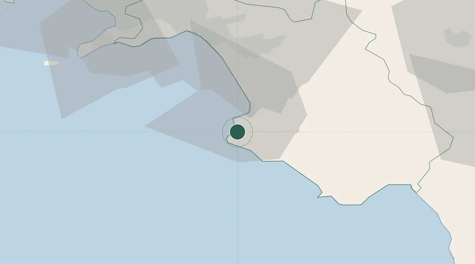
Location
Nearby Logistics Neighbours
Cities
- 1Agropoli8 km
- 2Prignano Cilento11 km
- 3Acciaroli13 km
- 4Giungano18 km
- 5Marina di Pisciotta32 km
Ports
- 1Salerno46 km
- 2Castellammare Di Stabia61 km
- 3Torre Annunziata67 km
- 4Torre Del Greco74 km
- 5Napoli84 km
Airports
- 1Salerno Costa d'Amalfi Airport38 km
- 2Naples International Airport87 km
- 3Grazzanise Air Base113 km
- 4Foggia Gino Lisa Airport137 km
- 5Amendola Air Base154 km
DatabookThe Record of Consolidated Knowledge
Italy beyond logistics?