Seaport · Italy
NapoliITNAP
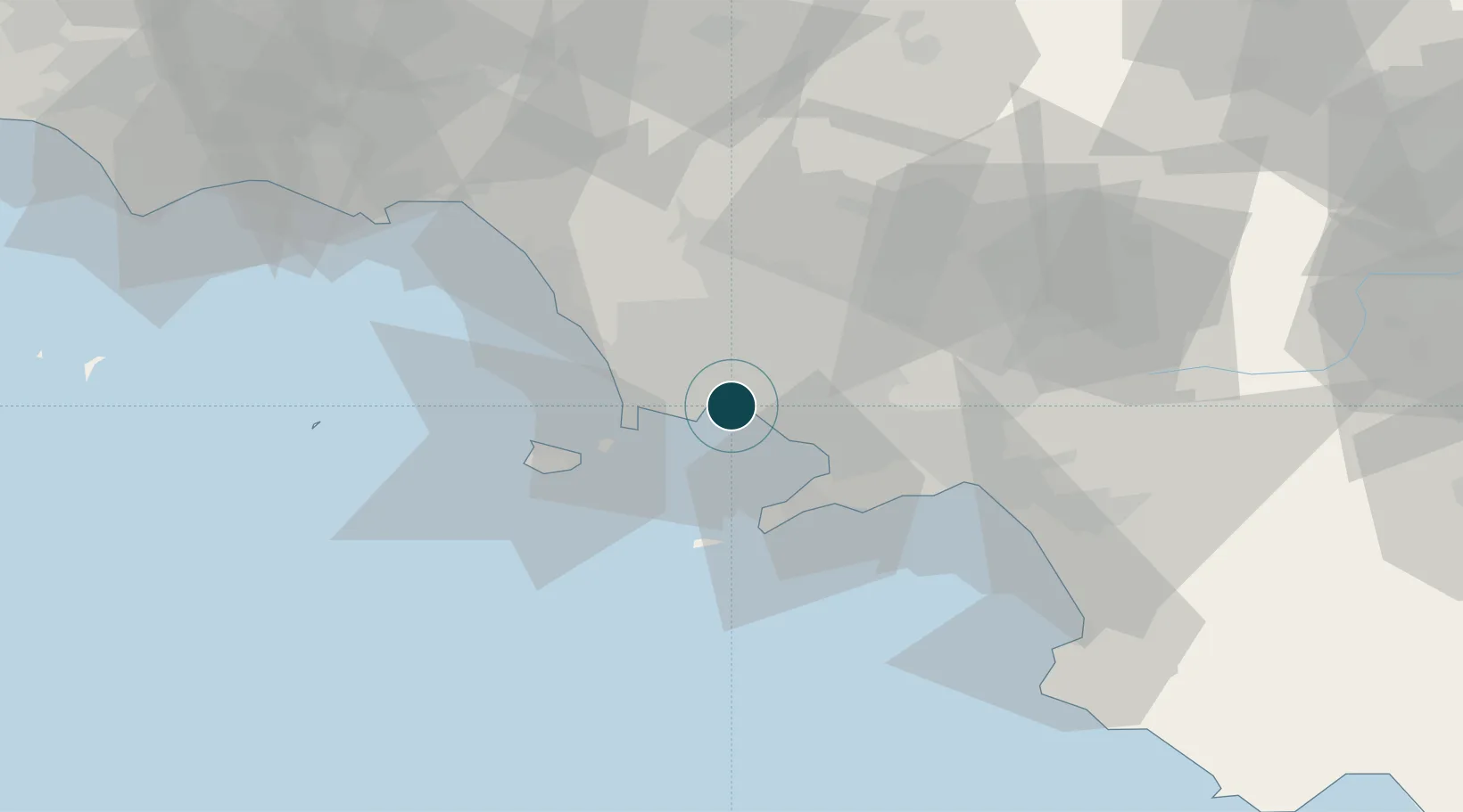
40.8330°, 14.2750°
14.0 m
Channel depth
2
Container terminals
140.5
Port liner connectivity
Channel & Berth Profile
Pilotage, Tugs & Services
Pilotage compulsoryYES
Tug assistanceYES
Salvage tugsYES
Shore powerYES
Potable waterYES
Diesel bunkersYES
MedicalYES
Garbage disposalYES
Facilities & Capabilities
Container—
Ro-Ro—
Liquid bulk—
Dry bulk—
Oil terminal—
Break bulk—
Dry dockNO
RepairsNO
BunkeringYES
Rail linkYES
Dangerous cargo—
ISPS security—
Harbour Specifications
Harbour size
Large
Harbour type
Coastal (Breakwater)
Shelter
Excellent
Water body
Tyrrhenian Sea; Mediterranean Sea; North Atlantic Ocean
Overhead limit
Yes
Pilotage
Yes
Liner Connectivity
140.5
PLSCI
Port Liner Shipping Connectivity Index for Napoli, as published by UNCTAD for the latest available quarter. Higher values indicate stronger scheduled liner-shipping integration.
Shown relative to the highest per-port PLSCI in the dataset (1,657.9).
Location
Container Terminals · 2
TERMINAL CONATECO
CONA CONSORZIO NAPOLITANO TERMINAL CONTAINERS S.P.A.
TERMINAL FLAVIO GIOIA
TERMIN TERMINAL FLAVIO GIOIA S.P.A.
Nearby Logistics Neighbours
Ports
- 1Torre Del Greco10 km
- 2Bagnoli10 km
- 3Pozzuoli14 km
- 4Baia17 km
- 5Torre Annunziata17 km
Cities
- 1Portici5 km
- 2San Sebastiano al Vesuvio8 km
- 3Bagnoli10 km
- 4Casalnuovo di Napoli11 km
- 5Frattamaggiore11 km
Airports
- 1Naples International Airport6 km
- 2Grazzanise Air Base30 km
- 3Salerno Costa d'Amalfi Airport59 km
- 4Foggia Gino Lisa Airport125 km
- 5Latina Air Base139 km
DatabookThe Record of Consolidated Knowledge
Italy beyond logistics?