Transport Functions
Multimodal
Hub Profile
Place type
District seat
Region
Campania
Population
399
Time zone
Europe/Rome
Elevation
250 m
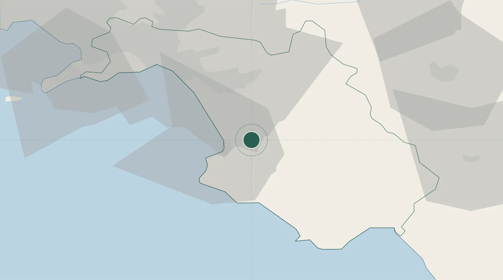
Location
Nearby Logistics Neighbours
Cities
- 1Prignano Cilento8 km
- 2Agropoli11 km
- 3Santa Maria di Castellabate18 km
- 4Serre20 km
- 5Acciaroli25 km
Ports
- 1Salerno42 km
- 2Castellammare Di Stabia62 km
- 3Torre Annunziata67 km
- 4Torre Del Greco75 km
- 5Napoli85 km
Airports
- 1Salerno Costa d'Amalfi Airport29 km
- 2Naples International Airport87 km
- 3Grazzanise Air Base113 km
- 4Foggia Gino Lisa Airport121 km
- 5Amendola Air Base137 km
DatabookThe Record of Consolidated Knowledge
Italy beyond logistics?