Transport Functions
Port
Road
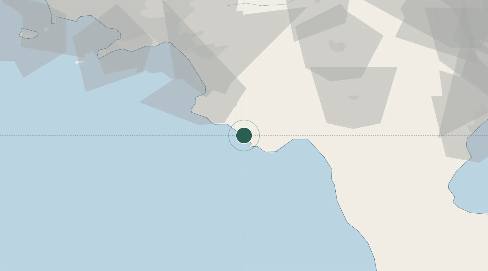
Location
Nearby Logistics Neighbours
Cities
- 1Palinuro9 km
- 2Marina di Camerota16 km
- 3Acciaroli21 km
- 4Scario22 km
- 5Prignano Cilento30 km
Ports
- 1Salerno75 km
- 2Castellammare Di Stabia93 km
- 3Torre Annunziata98 km
- 4Torre Del Greco106 km
- 5Napoli115 km
Airports
DatabookThe Record of Consolidated Knowledge
Italy beyond logistics?