Medium airport · Italy

Grazzanise Air BaseLIRM
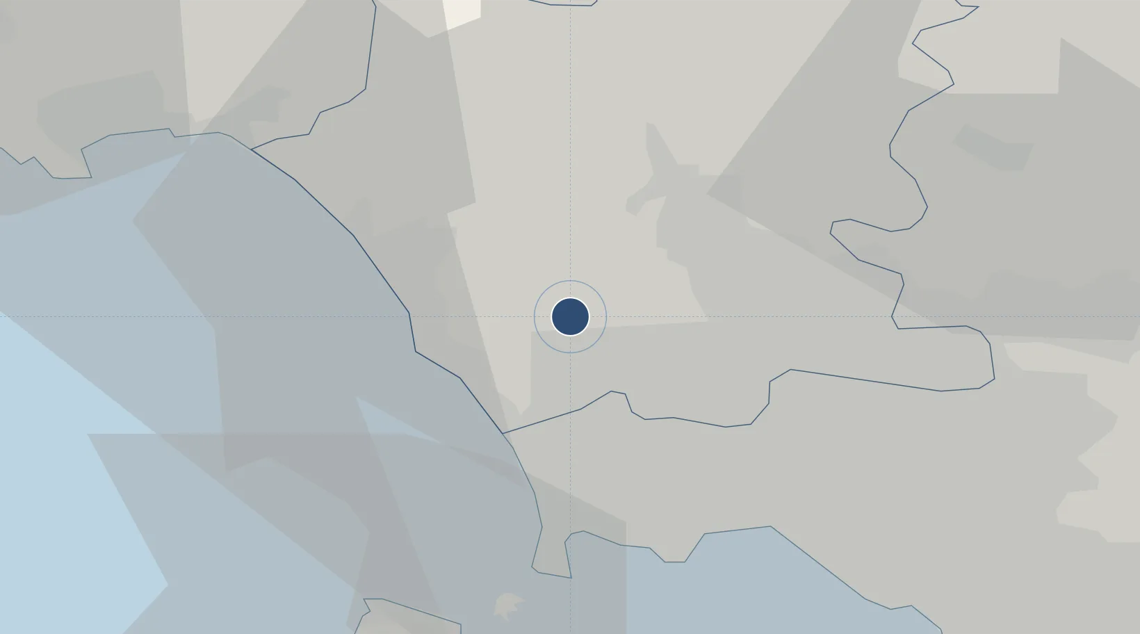
41.0608°, 14.0819°
9,813 ft
Longest runway
1
Runways
29 ft
Elevation

Runway & Layout

Grazzanise Air Base runway & taxiway layout
Runway & taxiway layout — OpenStreetMap (ODbL) / OurAirports

Radio Frequencies

TWR
118.025 MHz
APP
140.4 MHz
OurAirports

Navaids

GRA TACAN Grazzanise 117.50 MHz
GRA NDB Grazzanise 343 kHz
OurAirports

Runways · 1

RunwayDimensions SurfaceTrue headingLit
06/24 9,813 × 98ft Asphalt 060°
OurAirports

Airport Specifications

ICAO code
LIRM
OurAirports
Airport class
Medium airport
OurAirports
Scheduled service
No
OurAirports
Runway surface
Asphalt
OurAirports
Served city
Caserta
OurAirports

Location

Location of LIRM
Natural Earth 10m (public domain) · Caserta · LIRM · 41.06, 14.08GoogleOSMYandex

Nearby Logistics Neighbours

Airports
  1. 1Naples International Airport26 km
  2. 2Salerno Costa d'Amalfi Airport85 km
  3. 3Latina Air Base112 km
  4. 4Foggia Gino Lisa Airport128 km
  5. 5Amendola Air Base147 km
Nearest neighbours — logibook spatial index (haversine) over the source coordinates
Cities
  1. 1Cancello Ed Arnone6 km
  2. 2Villa di Briano9 km
  3. 3Aversa12 km
  4. 4Sparanise14 km
  5. 5Francolise14 km
Nearest neighbours — logibook spatial index (haversine) over the source coordinates
Ports
  1. 1Pozzuoli26 km
  2. 2Baia27 km
  3. 3Bagnoli29 km
  4. 4Napoli30 km
  5. 5Procida33 km
Nearest neighbours — logibook spatial index (haversine) over the source coordinates
Trade Zones
  1. 1Campania Special Economic Zone (Naples and Salerno)50 km
  2. 2Ionian Special Economic Zone73 km
  3. 3Puglia (Apulia) Special Economic Zone Area128 km
  4. 4Basilicata Special Economic Zone137 km
  5. 5Abruzzo Special Economic Zone150 km
Nearest neighbours — logibook spatial index (haversine) over the source coordinates
DatabookThe Record of Consolidated Knowledge
Italy beyond logistics?
Browse databook

All Sources

AirportsOurAirports
Public domain
Portsthe NGA World Port Index
Public domain (US gov)
LocationsUN/LOCODE
UN/LOCODE — free
Trade Zonesthe World Bank SEZ database
CC BY 4.0
Trade ZonesOpen Zone Map
CC BY
InfrastructureOpenStreetMap
ODbL 1.0
← Italy airports