UN/LOCODE hub · Italy
ITHJ9

Prignano Cilento

40.3333°, 15.0667°
914
Population
2
Transport functions

Transport Functions

Road
Multimodal
UN/LOCODE

Hub Profile

Place type
District seat
GeoNames
Region
Campania
GeoNames
Population
914
GeoNames
Time zone
Europe/Rome
GeoNames
Elevation
410 m
GeoNames

Location

Location of ITHJ9
Natural Earth 10m (public domain) · Campania · ITHJ9 · 40.33, 15.07GoogleOSMYandex

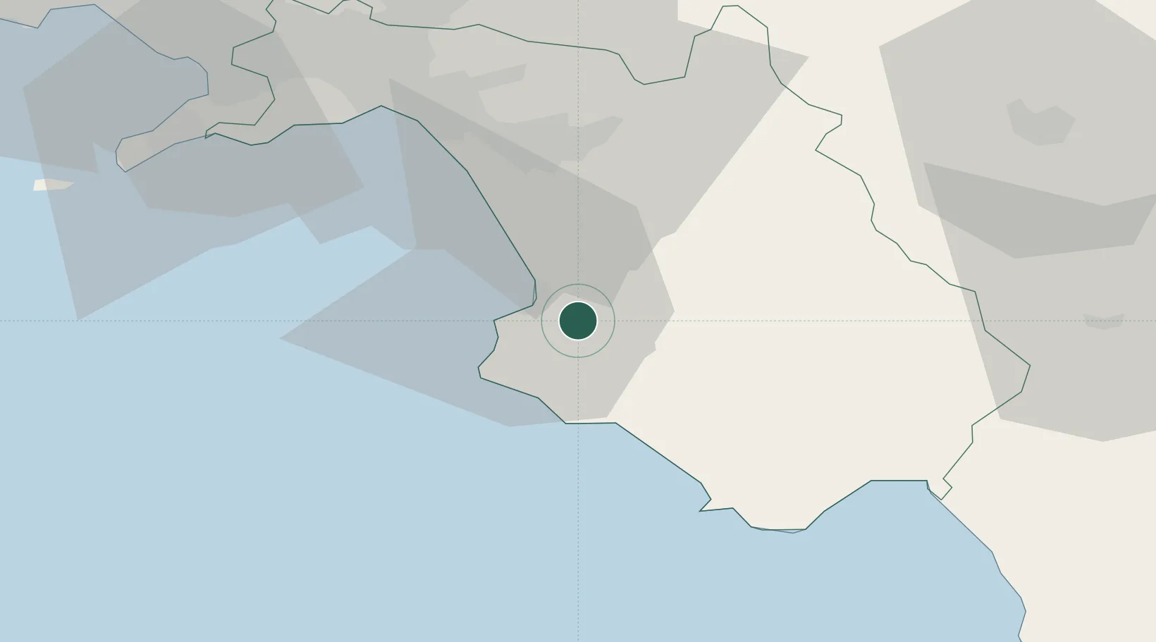
Nearby Logistics Neighbours

Cities
  1. 1Agropoli7 km
  2. 2Giungano8 km
  3. 3Santa Maria di Castellabate11 km
  4. 4Acciaroli17 km
  5. 5Serre28 km
Nearest neighbours — logibook spatial index (haversine) over the source coordinates
Ports
  1. 1Salerno46 km
  2. 2Castellammare Di Stabia65 km
  3. 3Torre Annunziata70 km
  4. 4Torre Del Greco78 km
  5. 5Napoli87 km
Nearest neighbours — logibook spatial index (haversine) over the source coordinates
Airports
  1. 1Salerno Costa d'Amalfi Airport35 km
  2. 2Naples International Airport90 km
  3. 3Grazzanise Air Base116 km
  4. 4Foggia Gino Lisa Airport129 km
  5. 5Amendola Air Base145 km
Nearest neighbours — logibook spatial index (haversine) over the source coordinates
DatabookThe Record of Consolidated Knowledge
Italy beyond logistics?
Browse databook

All Sources

LocationsUN/LOCODE
UN/LOCODE — free
LocationsGeoNames
CC BY 4.0
Portsthe NGA World Port Index
Public domain (US gov)
AirportsOurAirports
Public domain
Trade Zonesthe World Bank SEZ database
CC BY 4.0
Trade ZonesOpen Zone Map
CC BY
← Italy locations