Transport Functions
Road
Multimodal
Hub Profile
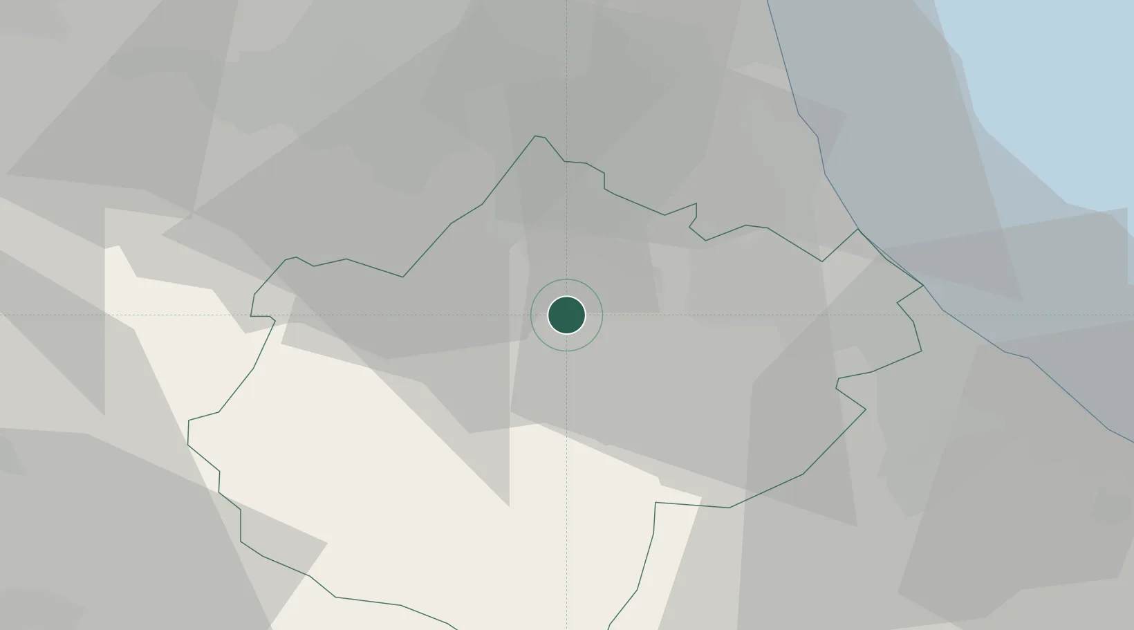
Place type
District seat
Region
Emilia-Romagna
Population
7,011
Time zone
Europe/Rome
Elevation
58 m
Location
Nearby Logistics Neighbours
Cities
- 1San Pietro In Campiano18 km
- 2San Pietro in Vincoli19 km
- 3Castiglione di Ravenna20 km
- 4Godo28 km
- 5Cervia28 km
Ports
- 1Cesenatico29 km
- 2Rimini41 km
- 3Porto Di Corsini44 km
- 4Porto Garibaldi62 km
- 5Pesaro71 km
Airports
Trade Zones
- 1Consorzio Zona Industriale e Porto Fluviale di Padova140 km
- 2Free Port of Venice146 km
- 3Port of Pula Free Zone162 km
- 4Port of Rijeka Free Zone210 km
- 5Free Port of Trieste214 km
DatabookThe Record of Consolidated Knowledge
Italy beyond logistics?