Transport Functions
Multimodal
Hub Profile
Place type
District seat
Region
Piedmont
Population
2,454
Time zone
Europe/Rome
Elevation
646 m
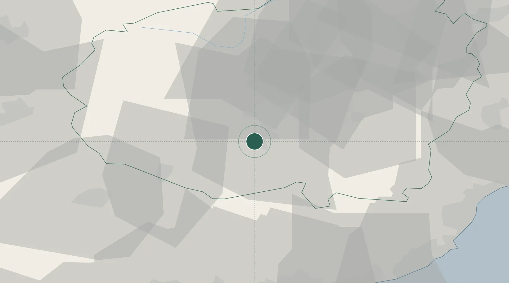
Location
Nearby Logistics Neighbours
Cities
- 1San Rocco di Bernezzo8 km
- 2Ronchi di Cuneo15 km
- 3Centallo22 km
- 4Rossana24 km
- 5Maddalene25 km
Ports
- 1San Remo61 km
- 2Monaco65 km
- 3Imperia65 km
- 4Villefranche70 km
- 5Nice70 km
Airports
Trade Zones
- 1ZFU LAriane65 km
- 2Aosta Valley165 km
- 3ZFU Grenoble172 km
- 4ZFU Toulon182 km
- 5ZFU La Seyne-sur-Mer190 km
DatabookThe Record of Consolidated Knowledge
Italy beyond logistics?