Transport Functions
Rail
Road
Hub Profile
Region
CN
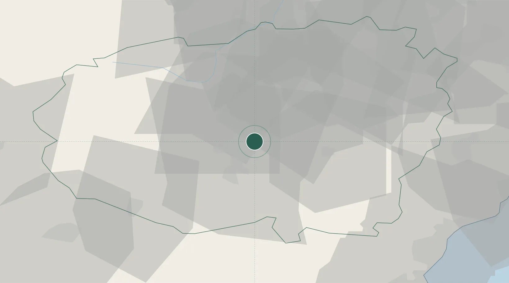
Location
Nearby Logistics Neighbours
Cities
- 1Centallo7 km
- 2Maddalene10 km
- 3San Rocco di Bernezzo13 km
- 4Roccavione15 km
- 5Magliano Alpi16 km
Ports
- 1San Remo70 km
- 2Imperia71 km
- 3Rada Di Vado72 km
- 4Savona74 km
- 5Monaco79 km
Airports
Trade Zones
- 1ZFU LAriane80 km
- 2Aosta Valley156 km
- 3ZFU Grenoble172 km
- 4Magazzini Generali Con Chiasso190 km
- 5ZFU Toulon197 km
DatabookThe Record of Consolidated Knowledge
Italy beyond logistics?