Transport Functions
Rail
Road
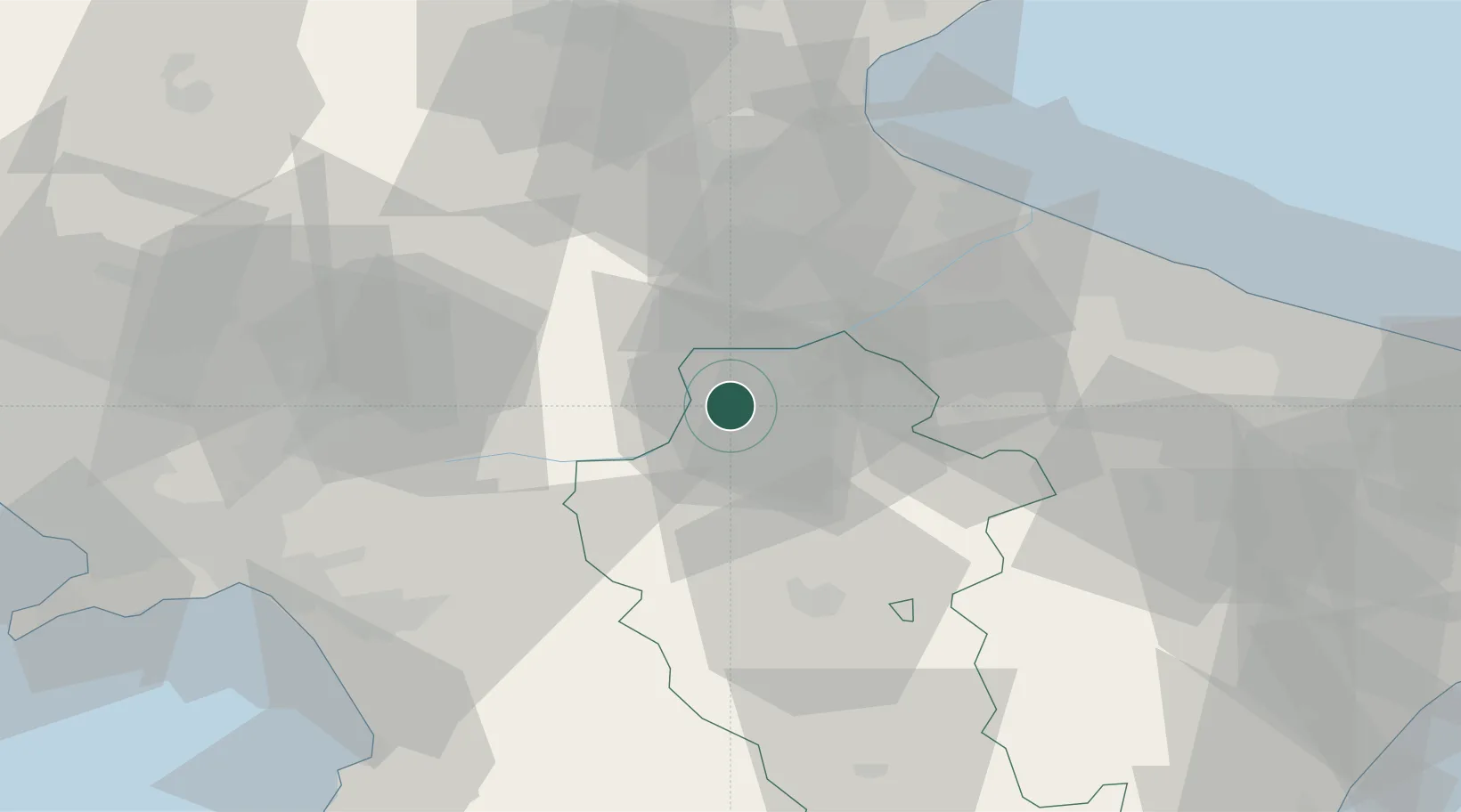
Hub Profile
Place type
District seat
Region
Basilicate
Population
13,079
Time zone
Europe/Rome
Elevation
538 m
Location
Nearby Logistics Neighbours
Cities
- 1San Nicola10 km
- 2Filiano21 km
- 3Calitri21 km
- 4Stornarella29 km
- 5Palazzo San Gervasio29 km
Ports
- 1Porto Di Barletta65 km
- 2Trani72 km
- 3Manfredonia72 km
- 4Bisceglie77 km
- 5Molfetta83 km
Airports
DatabookThe Record of Consolidated Knowledge
Italy beyond logistics?