Transport Functions
Rail
Road
Hub Profile
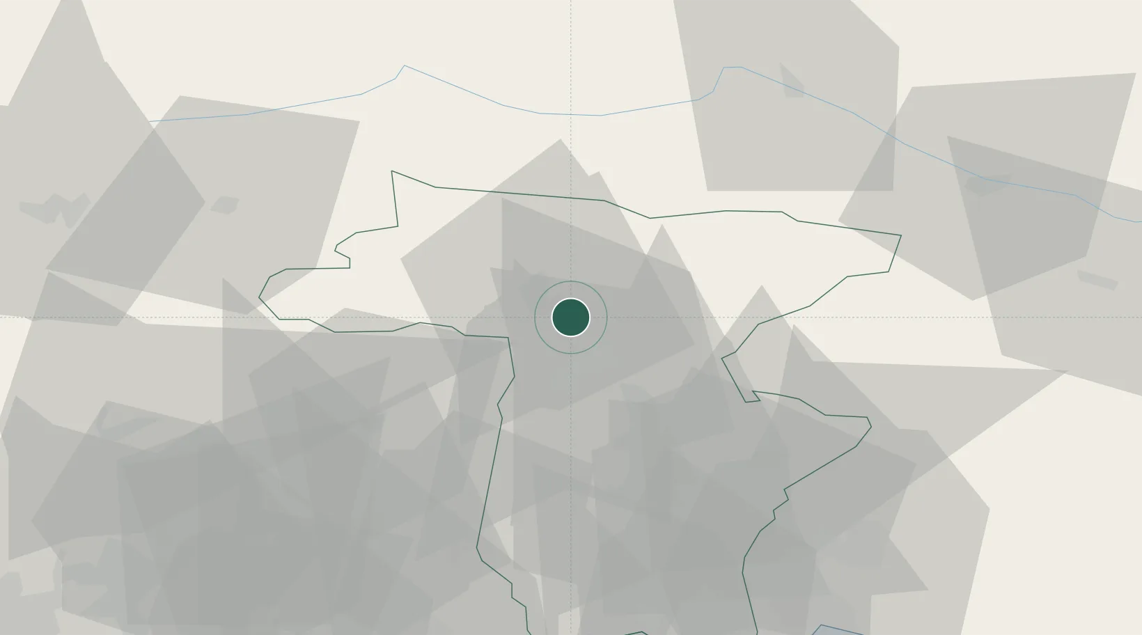
Place type
District seat
Region
Friuli Venezia Giulia
Population
836
Time zone
Europe/Rome
Elevation
296 m
Location
Nearby Logistics Neighbours
Cities
- 1Moggio Udinese10 km
- 2Magnano in Riviera16 km
- 3Treppo Grande21 km
- 4Pontebba22 km
- 5Pinzano al Tagliamento23 km
Ports
- 1Nogaro68 km
- 2Monfalcone74 km
- 3Grado76 km
- 4Trieste95 km
- 5Piran100 km
Airports
- 1Udine-Rivolto Air Base43 km
- 2Aviano Air Base53 km
- 3Trieste Airport67 km
- 4Klagenfurt Airport101 km
- 5Treviso Airport105 km
Trade Zones
DatabookThe Record of Consolidated Knowledge
Italy beyond logistics?