Transport Functions
Port
Road
Airport
Hub Profile
Place type
Provincial seat
Region
Abruzzo
Population
119,554
Time zone
Europe/Rome
Elevation
4 m
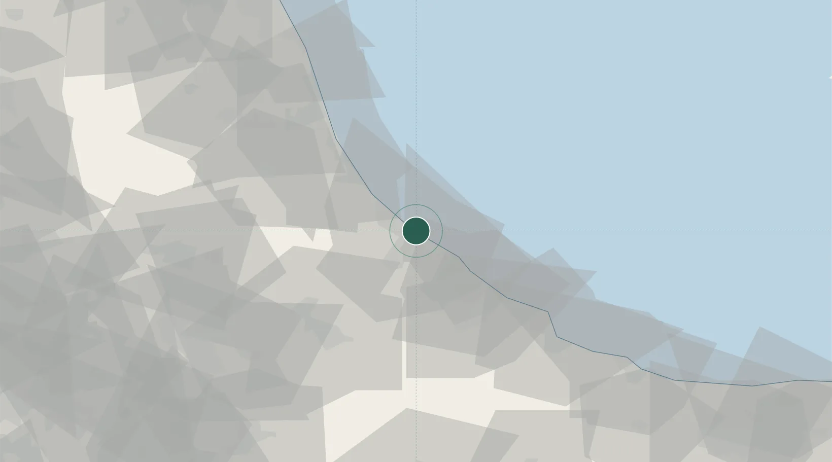
Location
Nearby Logistics Neighbours
Cities
- 1Francavilla al Mare7 km
- 2Montesilvano8 km
- 3Villanova15 km
- 4Chieti Scalo15 km
- 5Città Sant'Angelo16 km
Ports
- 1Ortona20 km
- 2Giulianova38 km
- 3Vasto56 km
- 4San Benedetto Del Tronto62 km
- 5Civitanova Marche103 km
Airports
- 1Abruzzo Airport6 km
- 2San Domino Island Heliport111 km
- 3Guidonia Air Base134 km
- 4Marche Airport146 km
- 5Latina Air Base150 km
Trade Zones
DatabookThe Record of Consolidated Knowledge
Italy beyond logistics?