Transport Functions
Multimodal
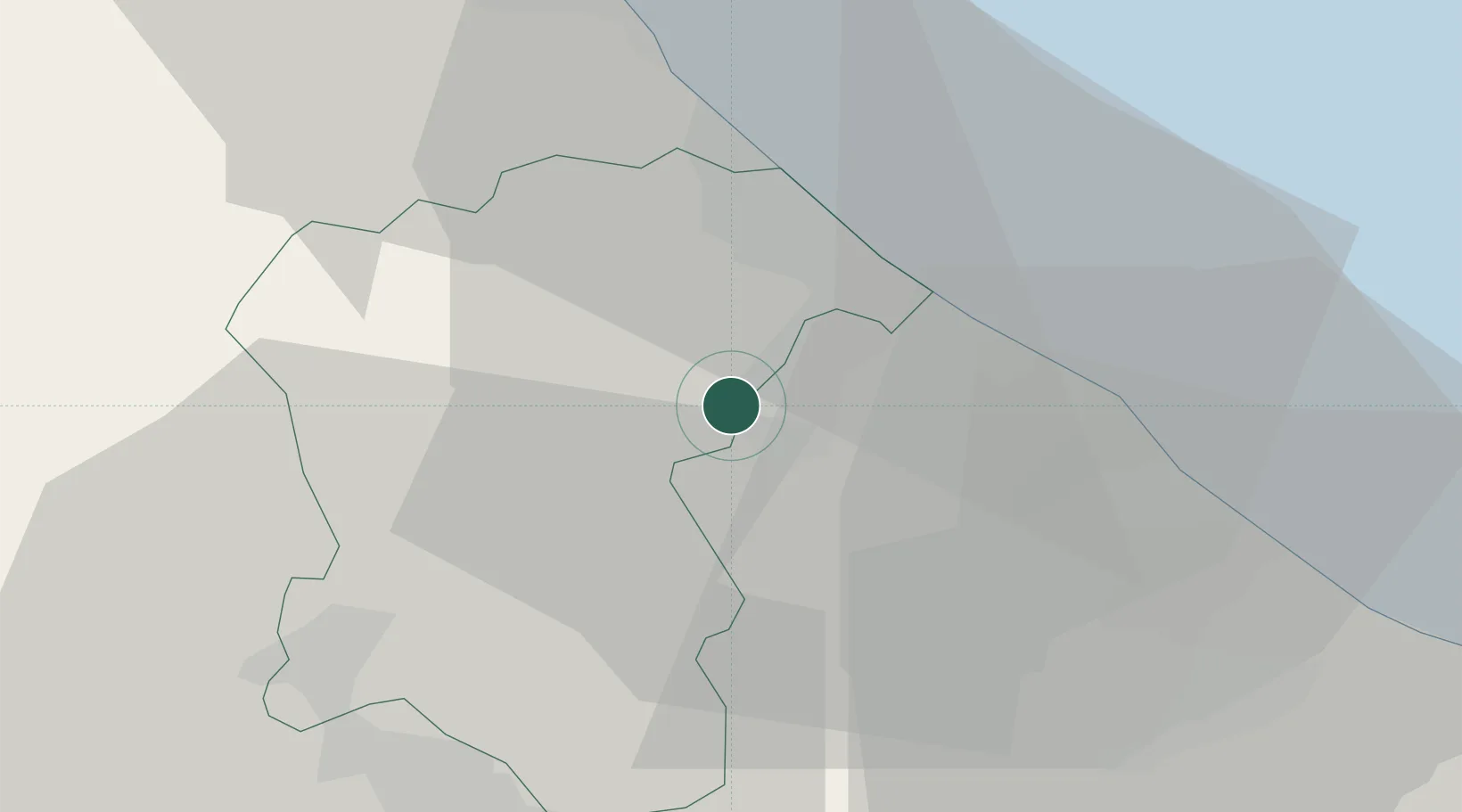
Hub Profile
Place type
Populated place
Region
Abruzzo
Population
1,493
Time zone
Europe/Rome
Elevation
70 m
Location
Nearby Logistics Neighbours
Cities
- 1Chieti Scalo2 km
- 2Montesilvano13 km
- 3Alanno14 km
- 4Pescara15 km
- 5Francavilla al Mare15 km
Ports
- 1Pescara15 km
- 2Ortona25 km
- 3Giulianova45 km
- 4Vasto57 km
- 5San Benedetto Del Tronto69 km
Airports
- 1Abruzzo Airport9 km
- 2San Domino Island Heliport116 km
- 3Guidonia Air Base121 km
- 4Latina Air Base136 km
- 5Ciampino–G. B. Pastine International Airport141 km
Trade Zones
DatabookThe Record of Consolidated Knowledge
Italy beyond logistics?