Transport Functions
Port
Road
Hub Profile
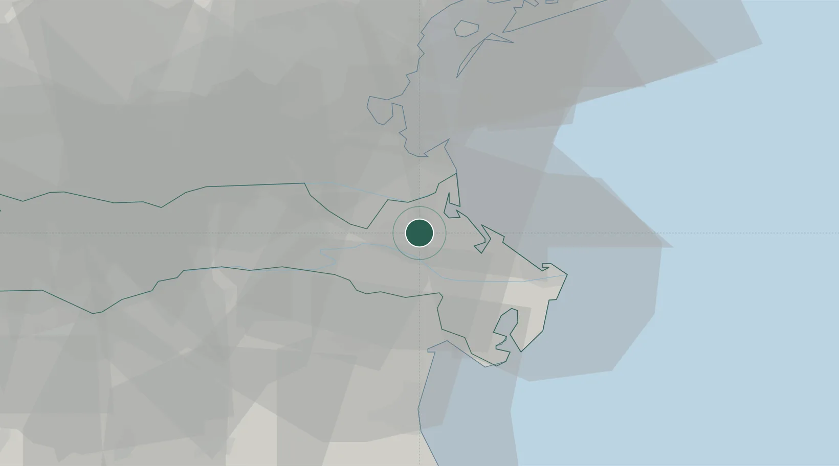
Place type
District seat
Region
Veneto
Population
13,644
Time zone
Europe/Rome
Elevation
2 m
Location
Nearby Logistics Neighbours
Cities
- 1Porto Levante9 km
- 2Porto Tolle16 km
- 3Chioggia21 km
- 4Goro23 km
- 5Berra24 km
Ports
- 1Porto Di Chioggia21 km
- 2Porto Garibaldi42 km
- 3Porto Di Lido-Venezia43 km
- 4Porto Di Corsini62 km
- 5Cesenatico95 km
Airports
- 1Padova Gino Allegri Airfield50 km
- 2Venice Marco Polo Airport51 km
- 3Treviso Airport67 km
- 4Istrana Air Base72 km
- 5Cervia Air Base92 km
Trade Zones
DatabookThe Record of Consolidated Knowledge
Italy beyond logistics?