Transport Functions
Port
Road
Hub Profile
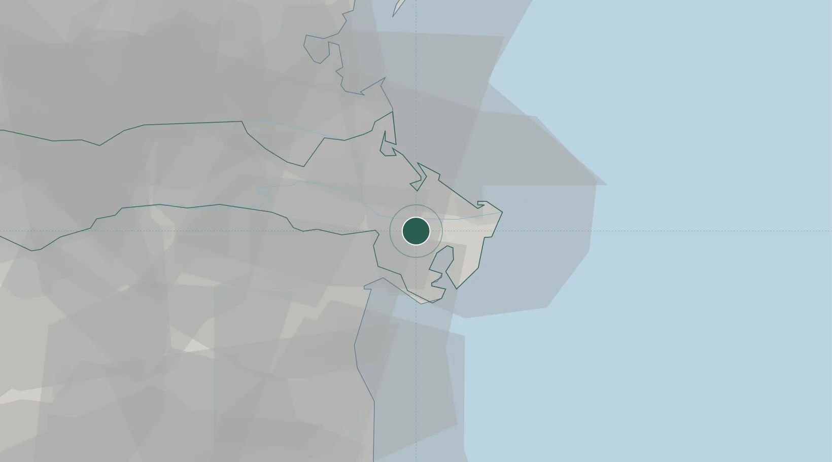
Place type
District seat
Region
Veneto
Population
10,666
Time zone
Europe/Rome
Elevation
-2 m
Location
Nearby Logistics Neighbours
Cities
- 1Goro11 km
- 2Porto Levante13 km
- 3Porto Viro16 km
- 4Comacchio31 km
- 5Lido degli Estensi32 km
Ports
- 1Porto Garibaldi30 km
- 2Porto Di Chioggia34 km
- 3Porto Di Corsini49 km
- 4Porto Di Lido-Venezia54 km
- 5Cesenatico81 km
Airports
Trade Zones
DatabookThe Record of Consolidated Knowledge
Italy beyond logistics?