Transport Functions
Port
Road
Hub Profile
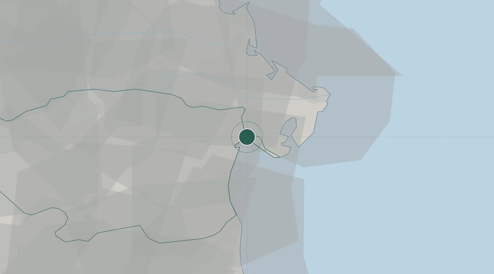
Place type
District seat
Region
Emilia-Romagna
Population
3,101
Time zone
Europe/Rome
Elevation
1 m
Location
Nearby Logistics Neighbours
Cities
- 1Porto Tolle11 km
- 2Comacchio21 km
- 3Lido degli Estensi21 km
- 4Porto Viro23 km
- 5Porto Levante23 km
Ports
- 1Porto Garibaldi20 km
- 2Porto Di Corsini40 km
- 3Porto Di Chioggia43 km
- 4Porto Di Lido-Venezia64 km
- 5Cesenatico72 km
Airports
Trade Zones
DatabookThe Record of Consolidated Knowledge
Italy beyond logistics?