Transport Functions
Multimodal
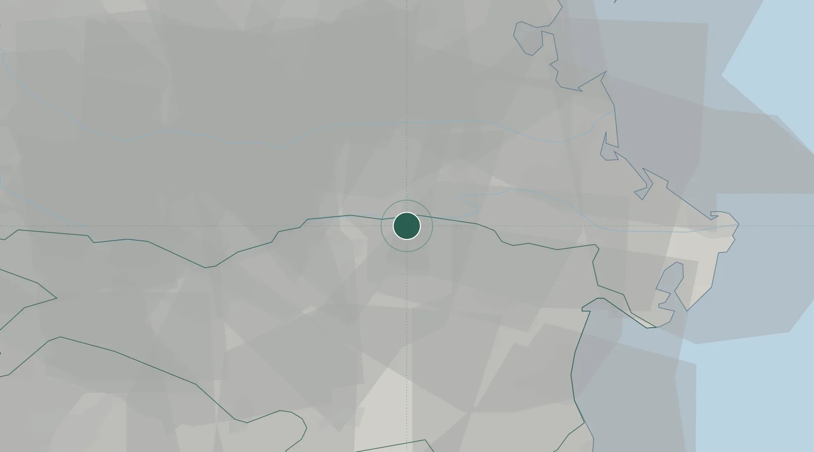
Hub Profile
Place type
District seat
Region
Emilia-Romagna
Population
1,812
Time zone
Europe/Rome
Elevation
2 m
Location
Nearby Logistics Neighbours
Cities
- 1Formignana17 km
- 2Costa di Rovigo23 km
- 3Porto Viro24 km
- 4Ostellato24 km
- 5Fratta Polesine27 km
Ports
- 1Porto Garibaldi39 km
- 2Porto Di Chioggia40 km
- 3Porto Di Corsini58 km
- 4Porto Di Lido-Venezia62 km
- 5Cesenatico91 km
Airports
- 1Padova Gino Allegri Airfield49 km
- 2Venice Marco Polo Airport67 km
- 3Bologna Guglielmo Marconi Airport72 km
- 4Treviso Airport78 km
- 5Istrana Air Base80 km
Trade Zones
DatabookThe Record of Consolidated Knowledge
Italy beyond logistics?