UN/LOCODE hub · Italy
ITCHI

Chioggia

45.2333°, 12.2833°
41,897
Population
1
Transport functions

Transport Functions

Port
Chioggia is also a profiled seaport →
UN/LOCODE

Hub Profile

Place type
District seat
GeoNames
Region
Veneto
GeoNames
Population
41,897
GeoNames
Time zone
Europe/Rome
GeoNames
Elevation
2 m
GeoNames

Location

Location of ITCHI
Natural Earth 10m (public domain) · Veneto · ITCHI · 45.23, 12.28GoogleOSMYandex

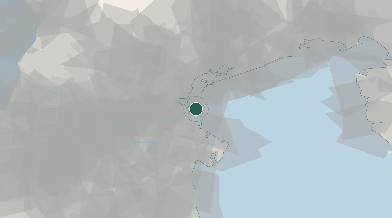
Nearby Logistics Neighbours

Cities
  1. 1Cusignana6 km
  2. 2Pontelongo20 km
  3. 3Piove di Sacco20 km
  4. 4Porto Viro21 km
  5. 5Fusina21 km
Nearest neighbours — logibook spatial index (haversine) over the source coordinates
Ports
  1. 1Porto Di Lido-Venezia24 km
  2. 2Porto Garibaldi62 km
  3. 3Porto Di Corsini82 km
  4. 4Nogaro90 km
  5. 5Grado94 km
Nearest neighbours — logibook spatial index (haversine) over the source coordinates
Airports
  1. 1Venice Marco Polo Airport31 km
  2. 2Padova Gino Allegri Airfield39 km
  3. 3Treviso Airport47 km
  4. 4Istrana Air Base52 km
  5. 5Aviano Air Base92 km
Nearest neighbours — logibook spatial index (haversine) over the source coordinates
Trade Zones
  1. 1Free Port of Venice22 km
  2. 2Consorzio Zona Industriale e Porto Fluviale di Padova33 km
  3. 3Free Port of Trieste124 km
  4. 4Port of Pula Free Zone129 km
  5. 5Port of Rijeka Free Zone155 km
Nearest neighbours — logibook spatial index (haversine) over the source coordinates
DatabookThe Record of Consolidated Knowledge
Italy beyond logistics?
Browse databook

All Sources

LocationsUN/LOCODE
UN/LOCODE — free
LocationsGeoNames
CC BY 4.0
Portsthe NGA World Port Index
Public domain (US gov)
AirportsOurAirports
Public domain
Trade Zonesthe World Bank SEZ database
CC BY 4.0
Trade ZonesOpen Zone Map
CC BY
← Italy locations