Transport Functions
Port
Hub Profile
Place type
Populated place
Region
Tuscany
Population
10
Time zone
Europe/Rome
Elevation
10 m
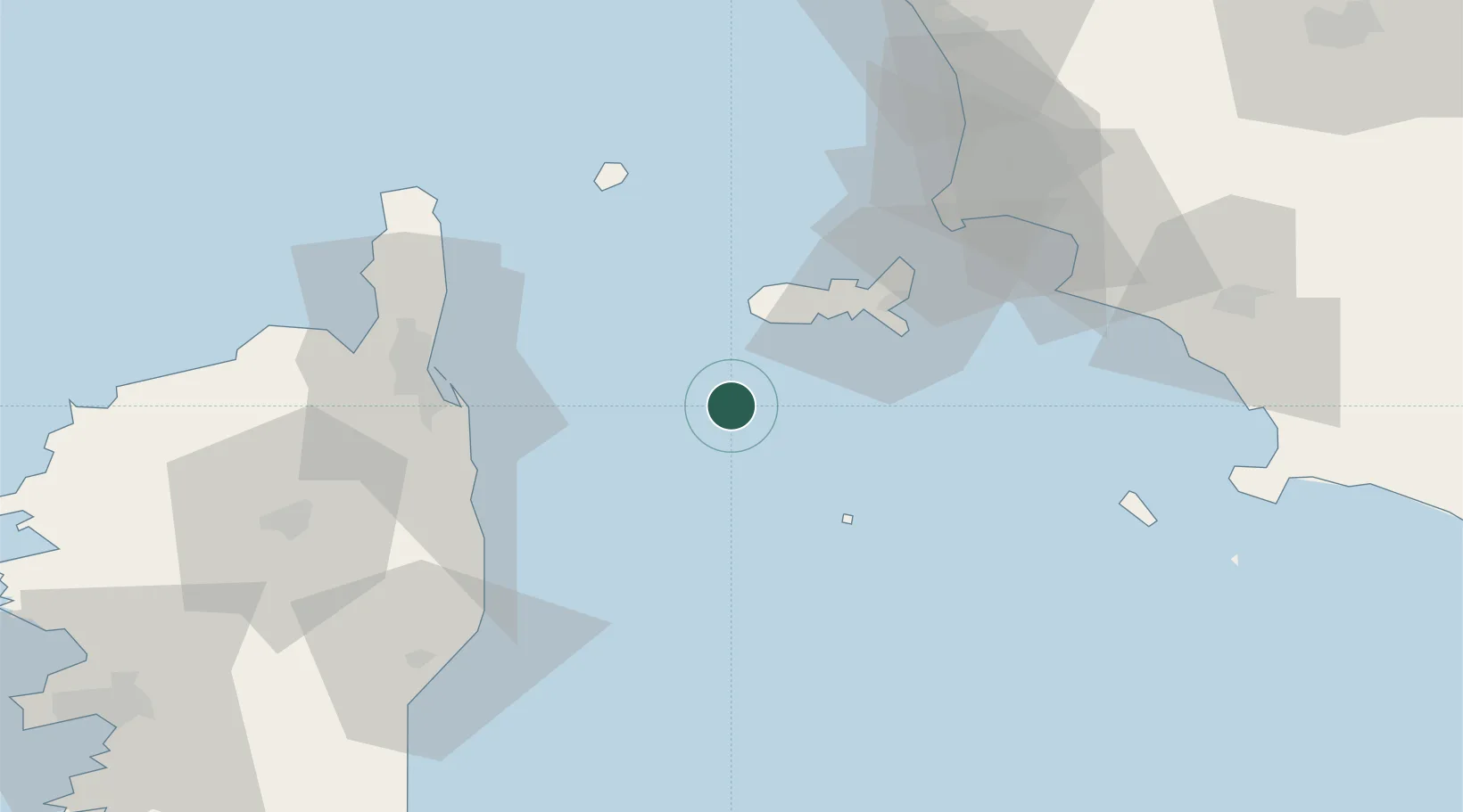
Location
Nearby Logistics Neighbours
Cities
- 1Marina di Campo23 km
- 2Marciana Marina28 km
- 3Cavo43 km
- 4San-Nicolao52 km
- 5Bastia53 km
Ports
- 1Portoferraio35 km
- 2Bastia53 km
- 3Portovecchio Di Piombino57 km
- 4Giglio Porto74 km
- 5Porto Santo Stefano88 km
Airports
Trade Zones
DatabookThe Record of Consolidated Knowledge
Italy beyond logistics?