Transport Functions
Port
Road
Hub Profile
Place type
District seat
Region
Tuscany
Population
2,104
Time zone
Europe/Rome
Elevation
2 m
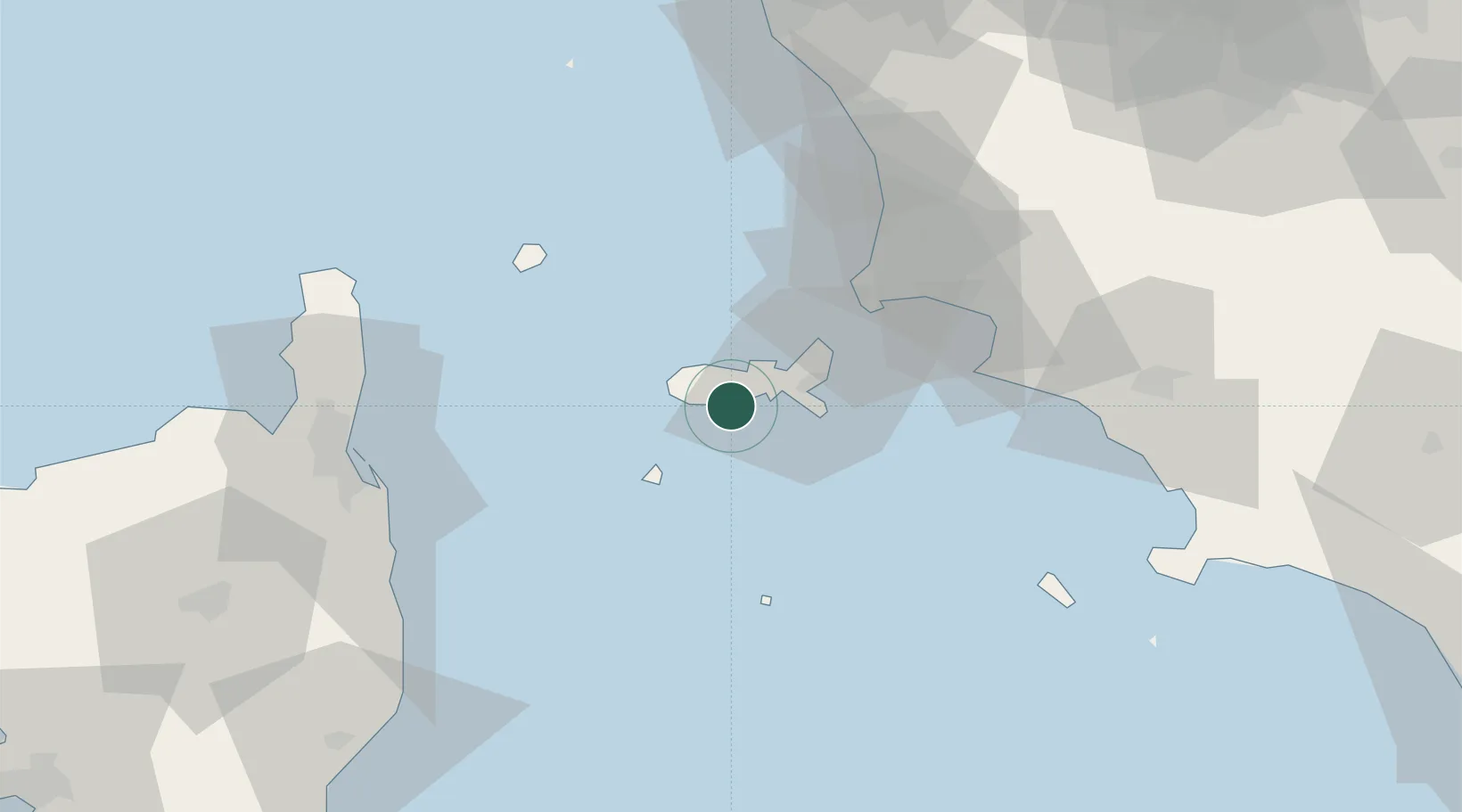
Location
Nearby Logistics Neighbours
Cities
- 1Marciana Marina8 km
- 2Cavo20 km
- 3Pianosa23 km
- 4Follonica47 km
- 5Capraia48 km
Ports
- 1Portoferraio12 km
- 2Portovecchio Di Piombino35 km
- 3Bastia64 km
- 4Giglio Porto70 km
- 5Vada71 km
Airports
Trade Zones
DatabookThe Record of Consolidated Knowledge
Italy beyond logistics?