UN/LOCODE hub · Italy
ITMAM

Marciana Marina

42.8000°, 10.2000°
1,792
Population
2
Transport functions

Transport Functions

Port
Road
UN/LOCODE

Hub Profile

Place type
District seat
GeoNames
Region
Tuscany
GeoNames
Population
1,792
GeoNames
Time zone
Europe/Rome
GeoNames
Elevation
3 m
GeoNames

Location

Location of ITMAM
Natural Earth 10m (public domain) · Tuscany · ITMAM · 42.80, 10.20GoogleOSMYandex

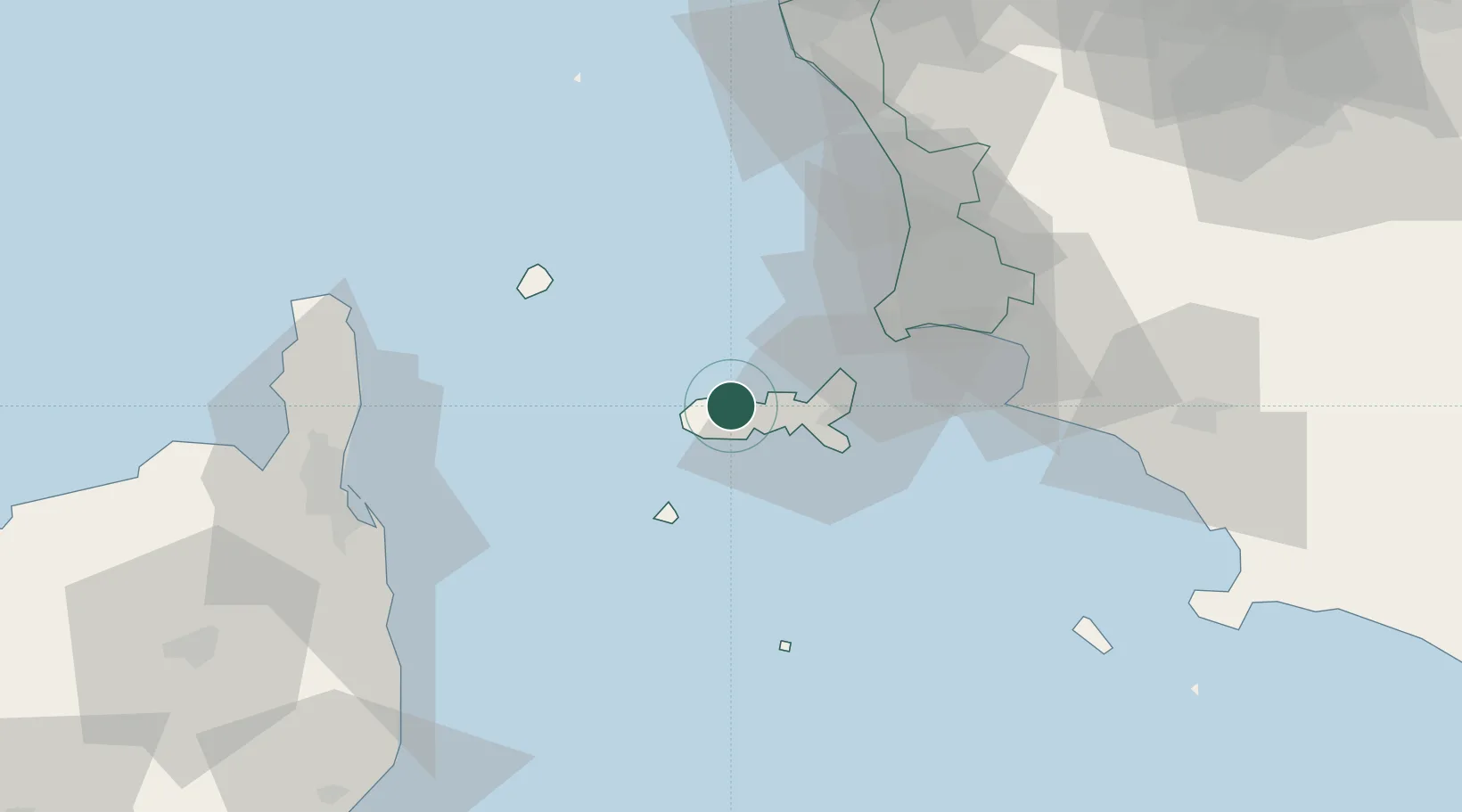
Nearby Logistics Neighbours

Cities
  1. 1Marina di Campo8 km
  2. 2Cavo19 km
  3. 3Pianosa28 km
  4. 4Capraia41 km
  5. 5Follonica47 km
Nearest neighbours — logibook spatial index (haversine) over the source coordinates
Ports
  1. 1Portoferraio11 km
  2. 2Portovecchio Di Piombino33 km
  3. 3Bastia62 km
  4. 4Vada64 km
  5. 5Giglio Porto77 km
Nearest neighbours — logibook spatial index (haversine) over the source coordinates
Airports
  1. 1Marina di Campo Airport5 km
  2. 2Bastia-Poretta International airport65 km
  3. 3Grosseto Corrado Baccarini Air Base / Grosseto Airport71 km
  4. 4Pisa International Airport100 km
  5. 5Siena-Ampugnano Airport100 km
Nearest neighbours — logibook spatial index (haversine) over the source coordinates
Trade Zones
  1. 1ZFU LAriane258 km
  2. 2Abruzzo Special Economic Zone264 km
  3. 3Sardinia Special Economic Zone Area265 km
  4. 4Consorzio Zona Industriale e Porto Fluviale di Padova319 km
  5. 5Ionian Special Economic Zone334 km
Nearest neighbours — logibook spatial index (haversine) over the source coordinates
DatabookThe Record of Consolidated Knowledge
Italy beyond logistics?
Browse databook

All Sources

LocationsUN/LOCODE
UN/LOCODE — free
LocationsGeoNames
CC BY 4.0
Portsthe NGA World Port Index
Public domain (US gov)
AirportsOurAirports
Public domain
Trade Zonesthe World Bank SEZ database
CC BY 4.0
Trade ZonesOpen Zone Map
CC BY
← Italy locations