Transport Functions
Rail
Road
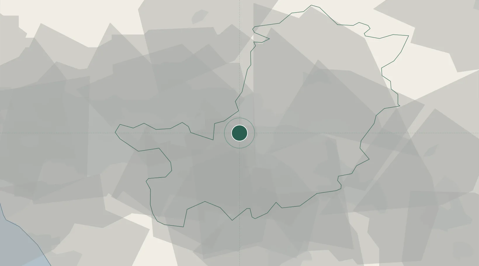
Location
Nearby Logistics Neighbours
Cities
- 1Peretola4 km
- 2Signa5 km
- 3San Giorgio a Colonica7 km
- 4Poggio a Caiano9 km
- 5Impruneta14 km
Ports
- 1Viareggio74 km
- 2Vada74 km
- 3Livorno74 km
- 4Marina Di Carrara92 km
- 5Portovecchio Di Piombino106 km
Airports
Trade Zones
DatabookThe Record of Consolidated Knowledge
Italy beyond logistics?