Transport Functions
Rail
Road
Airport
Hub Profile
Place type
District seat
Region
Lombardy
Population
1,662
Time zone
Europe/Rome
Elevation
241 m
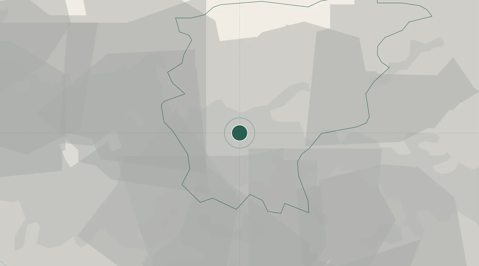
Location
Nearby Logistics Neighbours
Cities
- 1Treviolo7 km
- 2Scanzorosciate7 km
- 3Montello9 km
- 4San Paolo d'Argon9 km
- 5Spirano9 km
Ports
- 1Genova153 km
- 2Chiavari - Lavagna154 km
- 3La Spezia175 km
- 4Savona177 km
- 5Rada Di Vado184 km
Airports
Trade Zones
DatabookThe Record of Consolidated Knowledge
Italy beyond logistics?