Transport Functions
Rail
Multimodal
Hub Profile
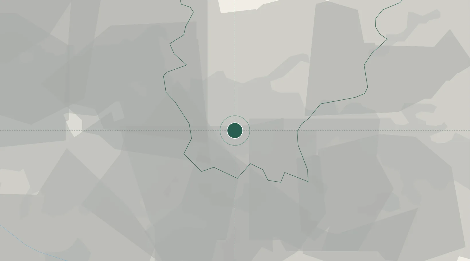
Place type
District seat
Region
Lombardy
Population
5,549
Time zone
Europe/Rome
Elevation
154 m
Location
Nearby Logistics Neighbours
Cities
- 1Cassina Nuova1 km
- 2Pognano3 km
- 3Vidalengo8 km
- 4Pontirolo Nuovo8 km
- 5Orio Al Serio9 km
Ports
- 1Genova144 km
- 2Chiavari - Lavagna145 km
- 3La Spezia166 km
- 4Savona168 km
- 5Rada Di Vado175 km
Airports
Trade Zones
DatabookThe Record of Consolidated Knowledge
Italy beyond logistics?