Transport Functions
Road
Multimodal
Hub Profile
Place type
District seat
Region
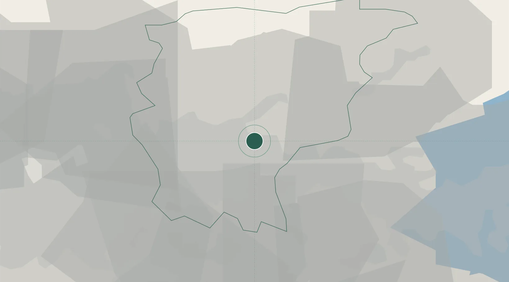
Lombardy
Population
4,757
Time zone
Europe/Rome
Elevation
255 m
Location
Nearby Logistics Neighbours
Cities
- 1Montello2 km
- 2Trescore Balneario3 km
- 3Scanzorosciate6 km
- 4Gandosso7 km
- 5Nembro8 km
Ports
- 1Chiavari - Lavagna158 km
- 2Genova159 km
- 3La Spezia176 km
- 4Savona183 km
- 5Marina Di Carrara185 km
Airports
Trade Zones
DatabookThe Record of Consolidated Knowledge
Italy beyond logistics?