Transport Functions
Multimodal
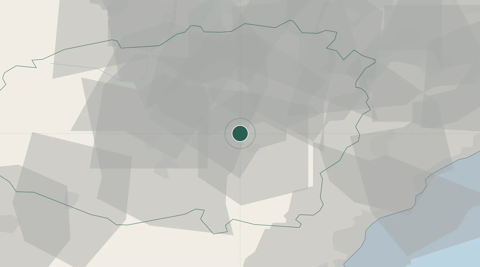
Hub Profile
Place type
District seat
Region
Piedmont
Population
1,906
Time zone
Europe/Rome
Elevation
403 m
Location
Nearby Logistics Neighbours
Cities
- 1Farigliano11 km
- 2Bene Vagienna12 km
- 3Niella Tanaro12 km
- 4Maddalene14 km
- 5Belvedere Langhe16 km
Ports
- 1Rada Di Vado57 km
- 2Savona59 km
- 3Imperia66 km
- 4San Remo70 km
- 5Monaco85 km
Airports
Trade Zones
- 1ZFU LAriane88 km
- 2Aosta Valley161 km
- 3Magazzini Generali Con Chiasso180 km
- 4ZFU Grenoble185 km
- 5ZFU Toulon209 km
DatabookThe Record of Consolidated Knowledge
Italy beyond logistics?