Transport Functions
Multimodal
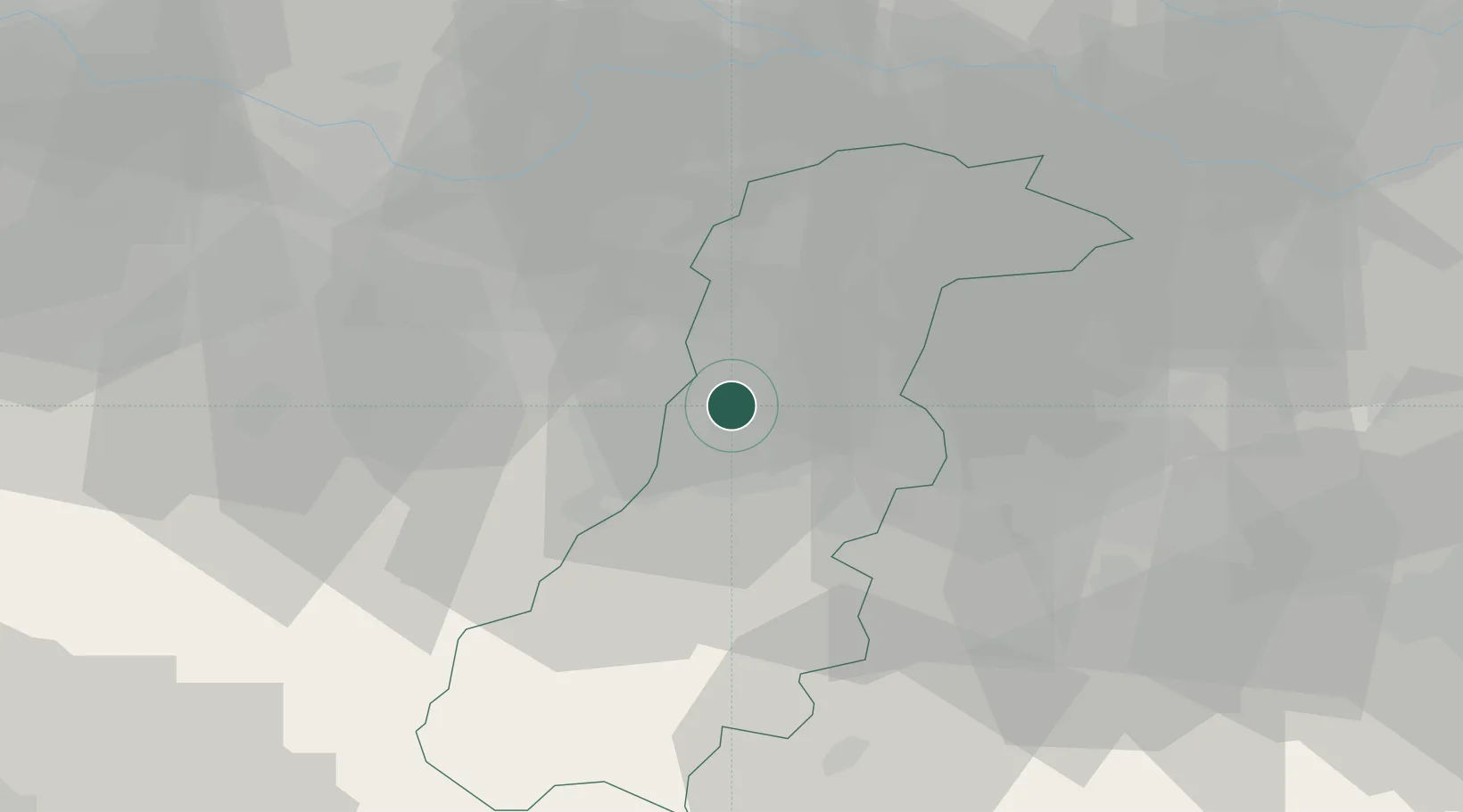
Hub Profile
Place type
Populated place
Region
Emilia-Romagna
Time zone
Europe/Rome
Elevation
45 m
Location
Nearby Logistics Neighbours
Cities
- 1Modena3 km
- 2San Donnino di Liguria9 km
- 3Maranello11 km
- 4Dinazzano13 km
- 5Sant'Antonino13 km
Ports
- 1Marina Di Carrara94 km
- 2Viareggio100 km
- 3La Spezia101 km
- 4Porto Garibaldi110 km
- 5Porto Di Corsini114 km
Airports
Trade Zones
DatabookThe Record of Consolidated Knowledge
Italy beyond logistics?