UN/LOCODE hub · Italy
ITZYP

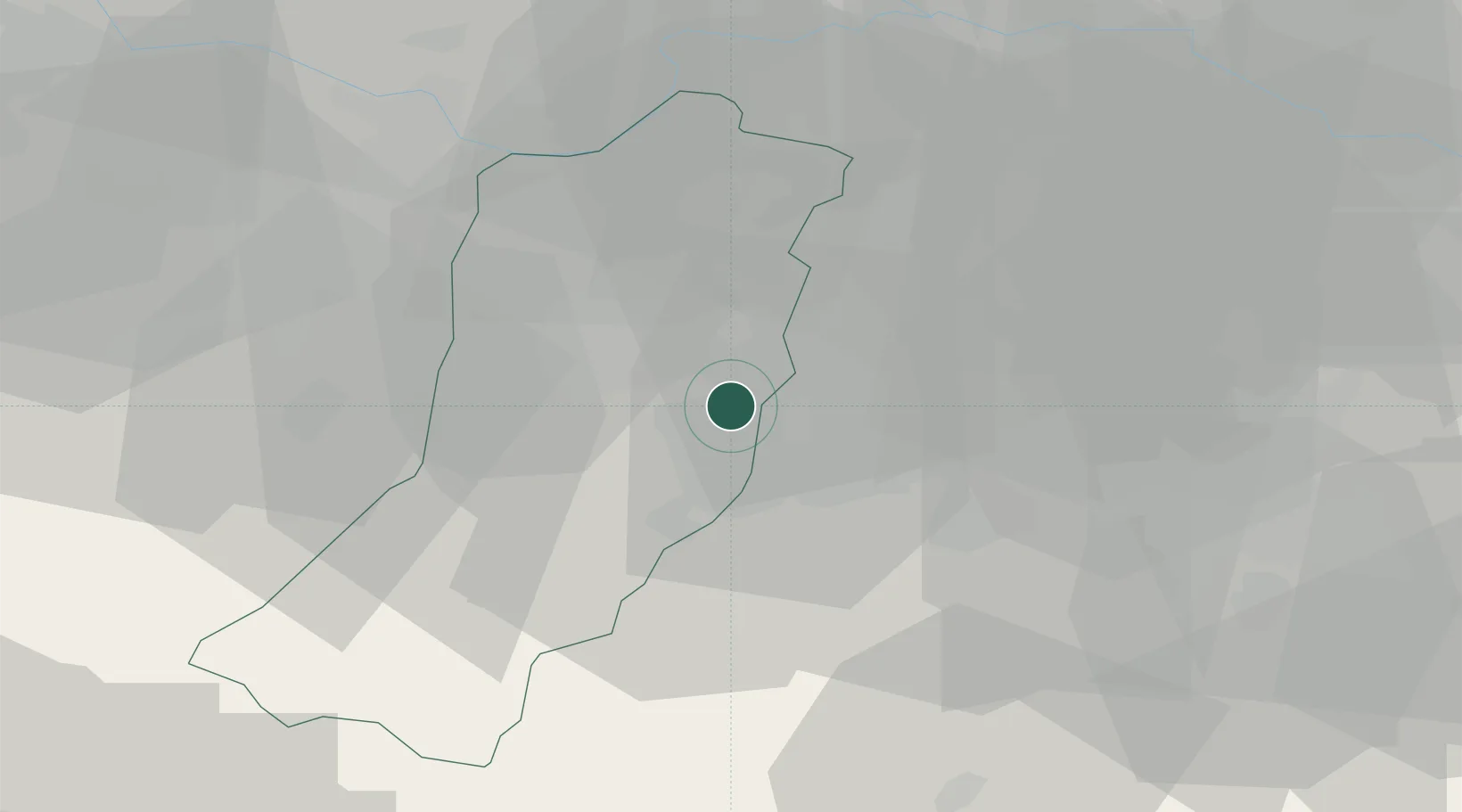
San Donnino di Liguria

44.6333°, 10.7500°
31
Population
1
Transport functions

Transport Functions

Multimodal
UN/LOCODE

Hub Profile

Place type
Populated place
GeoNames
Region
Emilia-Romagna
GeoNames
Population
31
GeoNames
Time zone
Europe/Rome
GeoNames
Elevation
63 m
GeoNames

Location

Location of ITZYP
Natural Earth 10m (public domain) · Emilia-Romagna · ITZYP · 44.63, 10.75GoogleOSMYandex

Nearby Logistics Neighbours

Cities
  1. 1Gavasseto7 km
  2. 2Modena7 km
  3. 3Dinazzano8 km
  4. 4Iano9 km
  5. 5Cognento9 km
Nearest neighbours — logibook spatial index (haversine) over the source coordinates
Ports
  1. 1Marina Di Carrara88 km
  2. 2La Spezia94 km
  3. 3Viareggio95 km
  4. 4Chiavari - Lavagna119 km
  5. 5Porto Garibaldi119 km
Nearest neighbours — logibook spatial index (haversine) over the source coordinates
Airports
  1. 1Parma Airport42 km
  2. 2Bologna Guglielmo Marconi Airport44 km
  3. 3Verona Villafranca Valerio Catullo Airport85 km
  4. 4Sarzana-Luni Air Base86 km
  5. 5Piacenza San Damiano Air Base87 km
Nearest neighbours — logibook spatial index (haversine) over the source coordinates
Trade Zones
  1. 1Consorzio Zona Industriale e Porto Fluviale di Padova125 km
  2. 2Free Port of Venice151 km
  3. 3Magazzini Generali Con Chiasso195 km
  4. 4Livigno Free Trade Zone217 km
  5. 5Port of Pula Free Zone245 km
Nearest neighbours — logibook spatial index (haversine) over the source coordinates
DatabookThe Record of Consolidated Knowledge
Italy beyond logistics?
Browse databook

All Sources

LocationsUN/LOCODE
UN/LOCODE — free
LocationsGeoNames
CC BY 4.0
Portsthe NGA World Port Index
Public domain (US gov)
AirportsOurAirports
Public domain
Trade Zonesthe World Bank SEZ database
CC BY 4.0
Trade ZonesOpen Zone Map
CC BY
← Italy locations