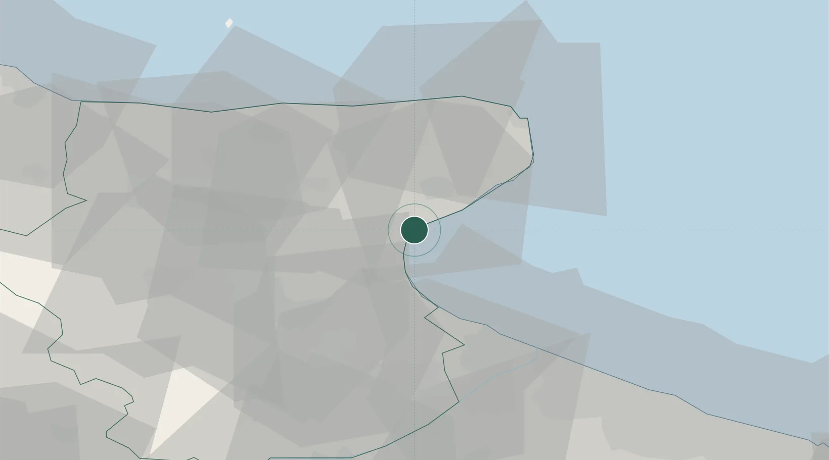
UN/LOCODE hub · Italy
ITMFR

Manfredonia

41.6333°, 15.9167°
56,932
Population
1
Transport functions

Transport Functions

Port
Manfredonia is also a profiled seaport →
UN/LOCODE

Hub Profile

Place type
District seat
GeoNames
Region
Apulia
GeoNames
Population
56,932
GeoNames
Time zone
Europe/Rome
GeoNames
Elevation
5 m
GeoNames

Location

Location of ITMFR
Natural Earth 10m (public domain) · Apulia · ITMFR · 41.63, 15.92GoogleOSMYandex

Nearby Logistics Neighbours

Cities
  1. 1Foce Varano33 km
  2. 2Margherita di Savoia36 km
  3. 3Stornarella45 km
  4. 4Barletta47 km
  5. 5Lesina54 km
Nearest neighbours — logibook spatial index (haversine) over the source coordinates
Ports
  1. 1Porto Di Barletta46 km
  2. 2Trani57 km
  3. 3Bisceglie66 km
  4. 4Molfetta73 km
  5. 5Bari95 km
Nearest neighbours — logibook spatial index (haversine) over the source coordinates
Airports
  1. 1Amendola Air Base20 km
  2. 2Eliporto Peschici34 km
  3. 3Foggia Gino Lisa Airport39 km
  4. 4San Domino Island Heliport64 km
  5. 5Bari Karol Wojtyła International Airport89 km
Nearest neighbours — logibook spatial index (haversine) over the source coordinates
Trade Zones
  1. 1Puglia (Apulia) Special Economic Zone Area75 km
  2. 2Adriatic Special Economic Zone (Foggia-Molise)98 km
  3. 3Basilicata Special Economic Zone128 km
  4. 4Ionian Special Economic Zone160 km
  5. 5Port of Ploče Free Zone200 km
Nearest neighbours — logibook spatial index (haversine) over the source coordinates
DatabookThe Record of Consolidated Knowledge
Italy beyond logistics?
Browse databook

All Sources

LocationsUN/LOCODE
UN/LOCODE — free
LocationsGeoNames
CC BY 4.0
Portsthe NGA World Port Index
Public domain (US gov)
AirportsOurAirports
Public domain
Trade Zonesthe World Bank SEZ database
CC BY 4.0
Trade ZonesOpen Zone Map
CC BY
← Italy locations