UN/LOCODE hub · Italy
ITMDW

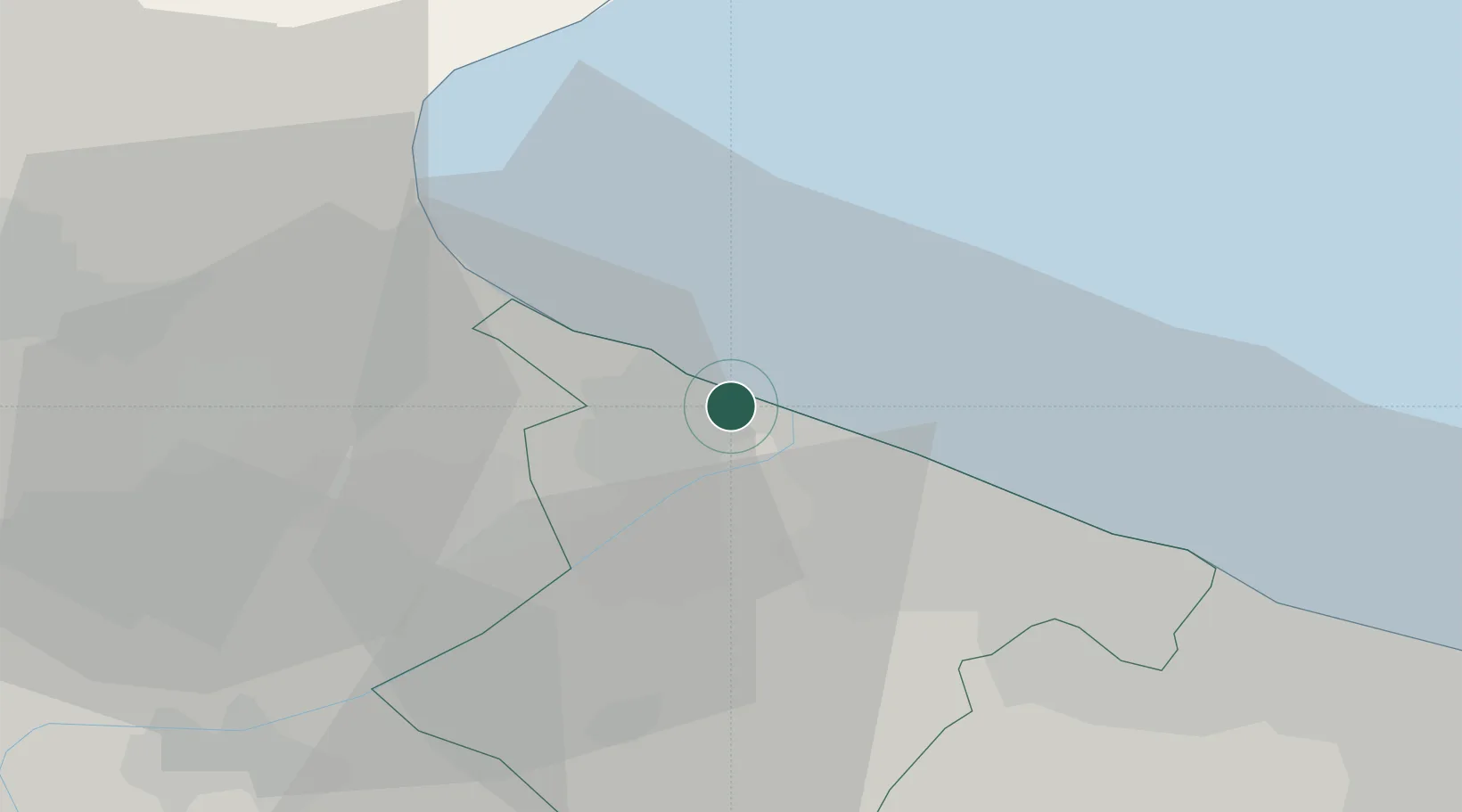
Margherita di Savoia

41.3667°, 16.1500°
11,488
Population
2
Transport functions

Transport Functions

Port
Road
UN/LOCODE

Hub Profile

Place type
District seat
GeoNames
Region
Apulia
GeoNames
Population
11,488
GeoNames
Time zone
Europe/Rome
GeoNames
Elevation
1 m
GeoNames

Location

Location of ITMDW
Natural Earth 10m (public domain) · Apulia · ITMDW · 41.37, 16.15GoogleOSMYandex

Nearby Logistics Neighbours

Cities
  1. 1Barletta12 km
  2. 2Bisceglie33 km
  3. 3Manfredonia36 km
  4. 4Stornarella37 km
  5. 5Ruvo di Puglia39 km
Nearest neighbours — logibook spatial index (haversine) over the source coordinates
Ports
  1. 1Porto Di Barletta12 km
  2. 2Trani25 km
  3. 3Bisceglie33 km
  4. 4Manfredonia34 km
  5. 5Molfetta41 km
Nearest neighbours — logibook spatial index (haversine) over the source coordinates
Airports
  1. 1Amendola Air Base41 km
  2. 2Foggia Gino Lisa Airport52 km
  3. 3Bari Karol Wojtyła International Airport57 km
  4. 4Eliporto Peschici64 km
  5. 5Gioia del Colle Antonio Ramirez Air Base94 km
Nearest neighbours — logibook spatial index (haversine) over the source coordinates
Trade Zones
  1. 1Puglia (Apulia) Special Economic Zone Area61 km
  2. 2Adriatic Special Economic Zone (Foggia-Molise)66 km
  3. 3Basilicata Special Economic Zone107 km
  4. 4Port of Ploče Free Zone214 km
  5. 5Calabria Special Economic Zone229 km
Nearest neighbours — logibook spatial index (haversine) over the source coordinates
DatabookThe Record of Consolidated Knowledge
Italy beyond logistics?
Browse databook

All Sources

LocationsUN/LOCODE
UN/LOCODE — free
LocationsGeoNames
CC BY 4.0
Portsthe NGA World Port Index
Public domain (US gov)
AirportsOurAirports
Public domain
Trade Zonesthe World Bank SEZ database
CC BY 4.0
Trade ZonesOpen Zone Map
CC BY
← Italy locations