Transport Functions
Port
Hub Profile
Place type
Provincial seat
Region
Apulia
Population
93,279
Time zone
Europe/Rome
Elevation
15 m
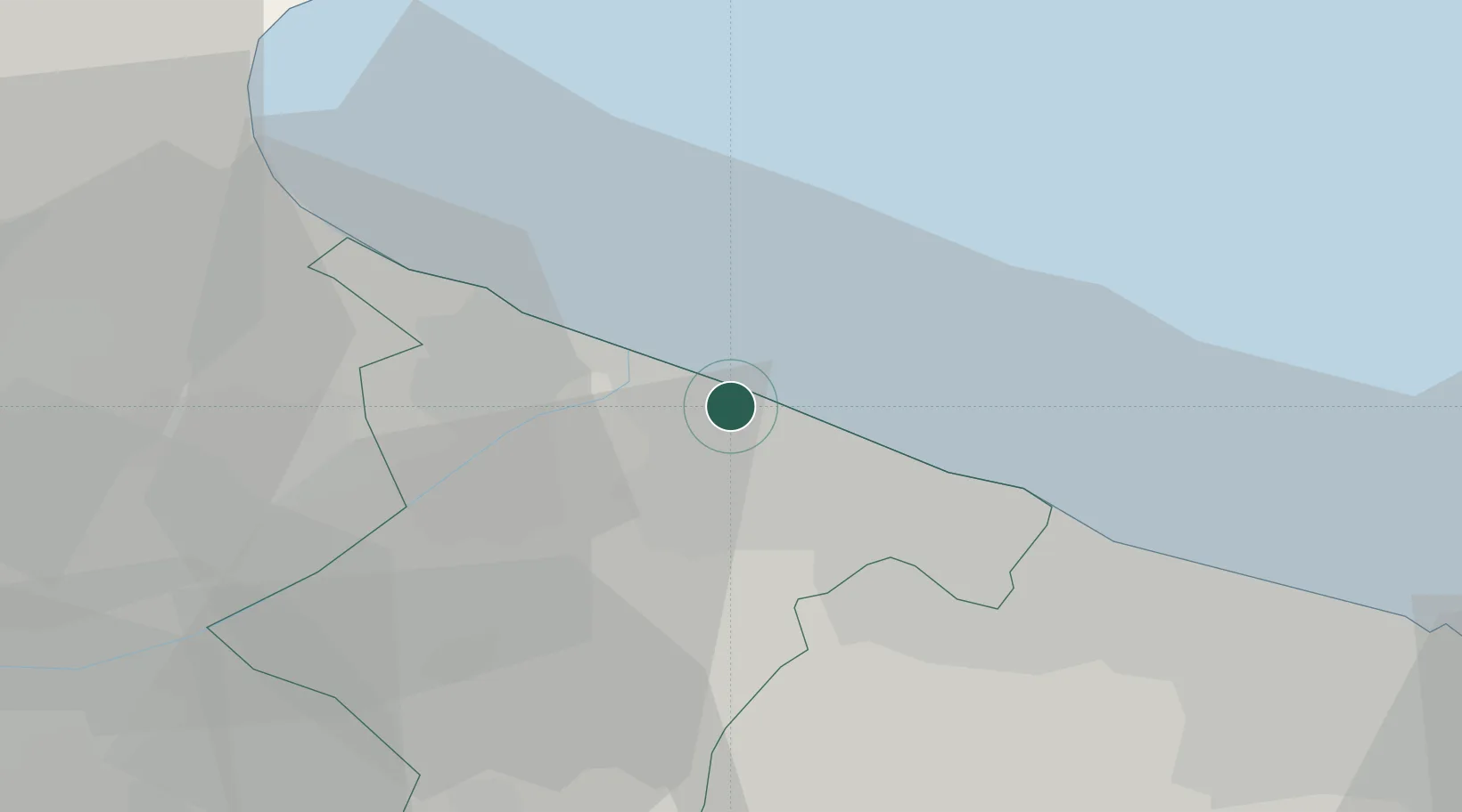
Location
Nearby Logistics Neighbours
Cities
- 1Margherita di Savoia12 km
- 2Bisceglie20 km
- 3Ruvo di Puglia28 km
- 4Terlizzi29 km
- 5Giovinazzo35 km
Ports
- 1Trani12 km
- 2Bisceglie20 km
- 3Molfetta29 km
- 4Manfredonia45 km
- 5Bari51 km
Airports
Trade Zones
DatabookThe Record of Consolidated Knowledge
Italy beyond logistics?