Transport Functions
Port
Road
Hub Profile
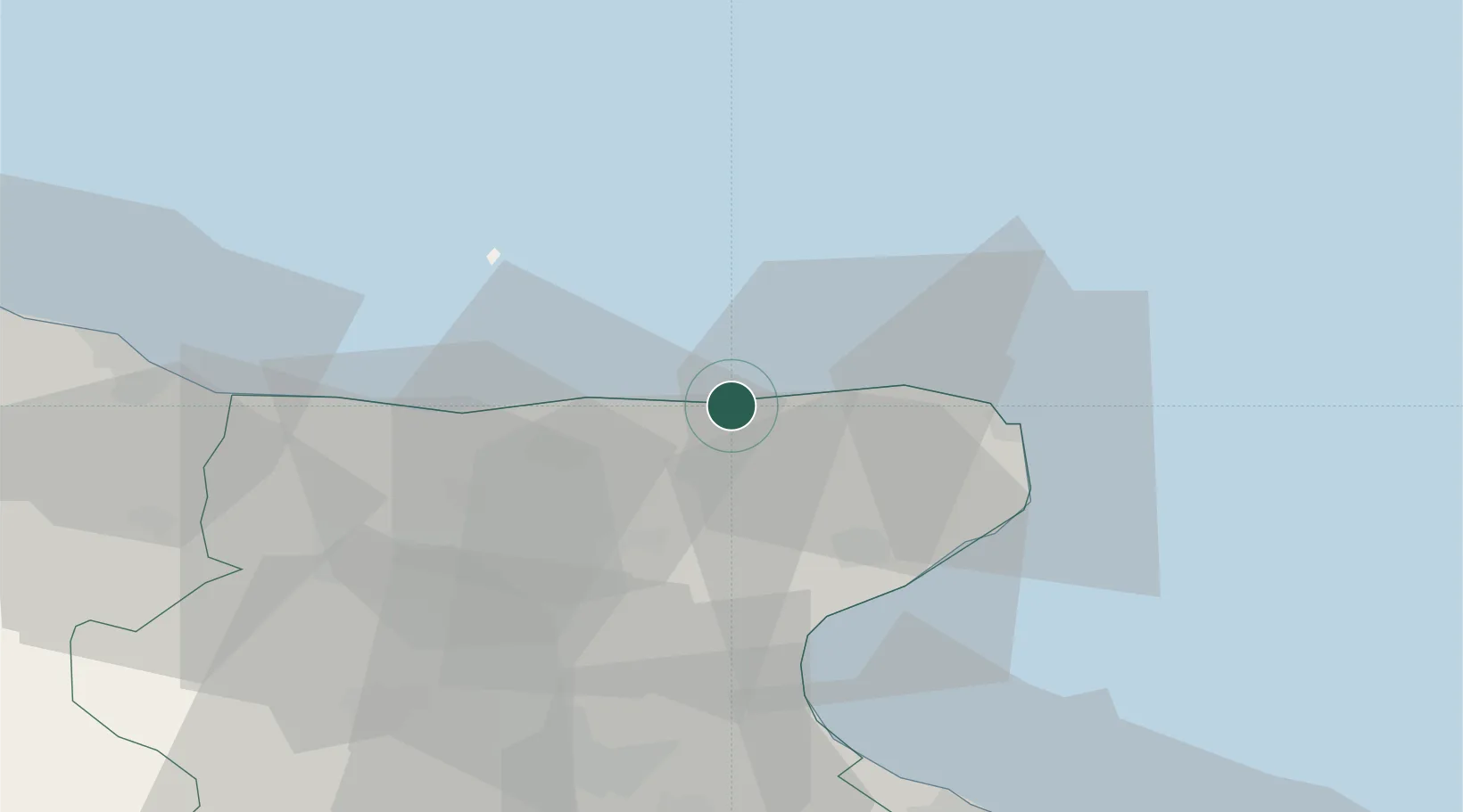
Place type
Populated place
Region
Apulia
Population
384
Time zone
Europe/Rome
Elevation
2 m
Location
Nearby Logistics Neighbours
Cities
- 1Manfredonia33 km
- 2Isole Tremiti34 km
- 3Lesina38 km
- 4Margherita di Savoia68 km
- 5Guglionesi73 km
Ports
- 1Manfredonia35 km
- 2Porto Di Barletta77 km
- 3Trani88 km
- 4Vasto92 km
- 5Bisceglie95 km
Airports
- 1Eliporto Peschici18 km
- 2San Domino Island Heliport34 km
- 3Amendola Air Base43 km
- 4Foggia Gino Lisa Airport58 km
- 5Bari Karol Wojtyła International Airport118 km
Trade Zones
DatabookThe Record of Consolidated Knowledge
Italy beyond logistics?